Spent the day with my buddy Michael Hopton hiking from the start of the BMT to the Swinging Bridge spanning the Toccoa River. Well, almost from the start...
The Plan
The plan was pretty simple. Two guys, two vehicles, a dog and a 16-17 mile point to point route from the start of the BMT to the Swinging Bridge. Michael would leave his vehicle at the Bridge and I’d leave my truck at Springer.
It was a nice plan that didn’t go as expected.
Shocking as always 🤔.
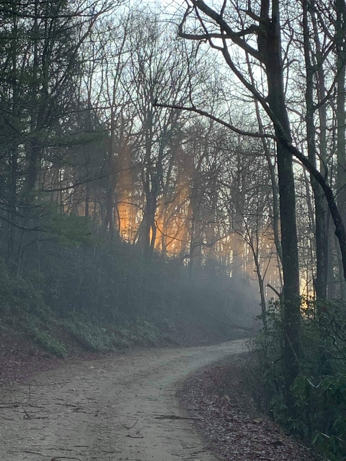
A storm had come through the area the night before that downed trees, power lines and seemingly cutting off all access to our destinations. Just getting close was a challenge due to dense fog and debris scattered on the roads. Our main route and second alternate ended up being completely blocked by large downed trees.
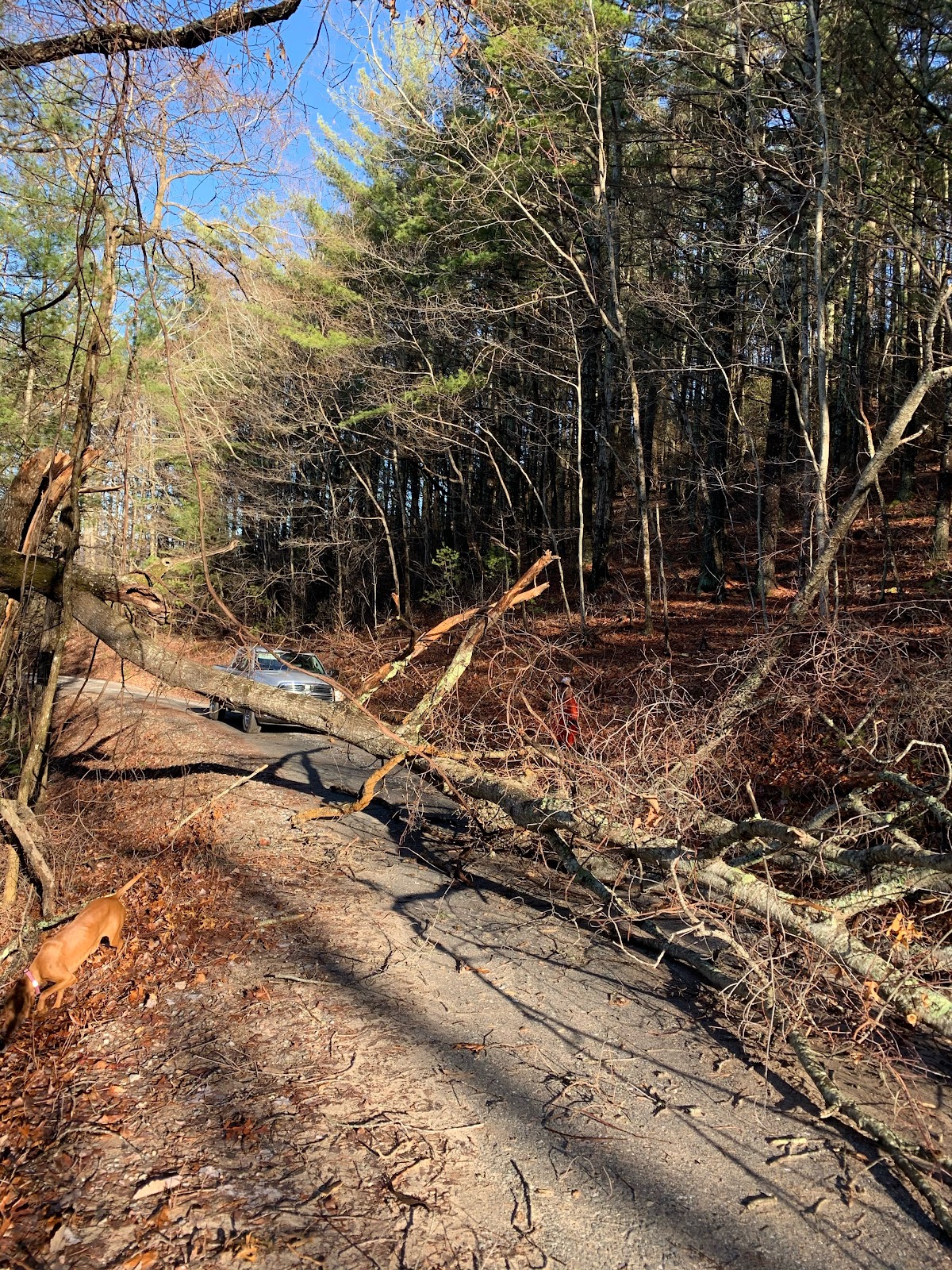
The tree above was blocking our alternate route attempt to access the bridge via forest roads. This was up FS 58 about 100 yards from the top near winding stair. We backtracked and found another access via the roads.
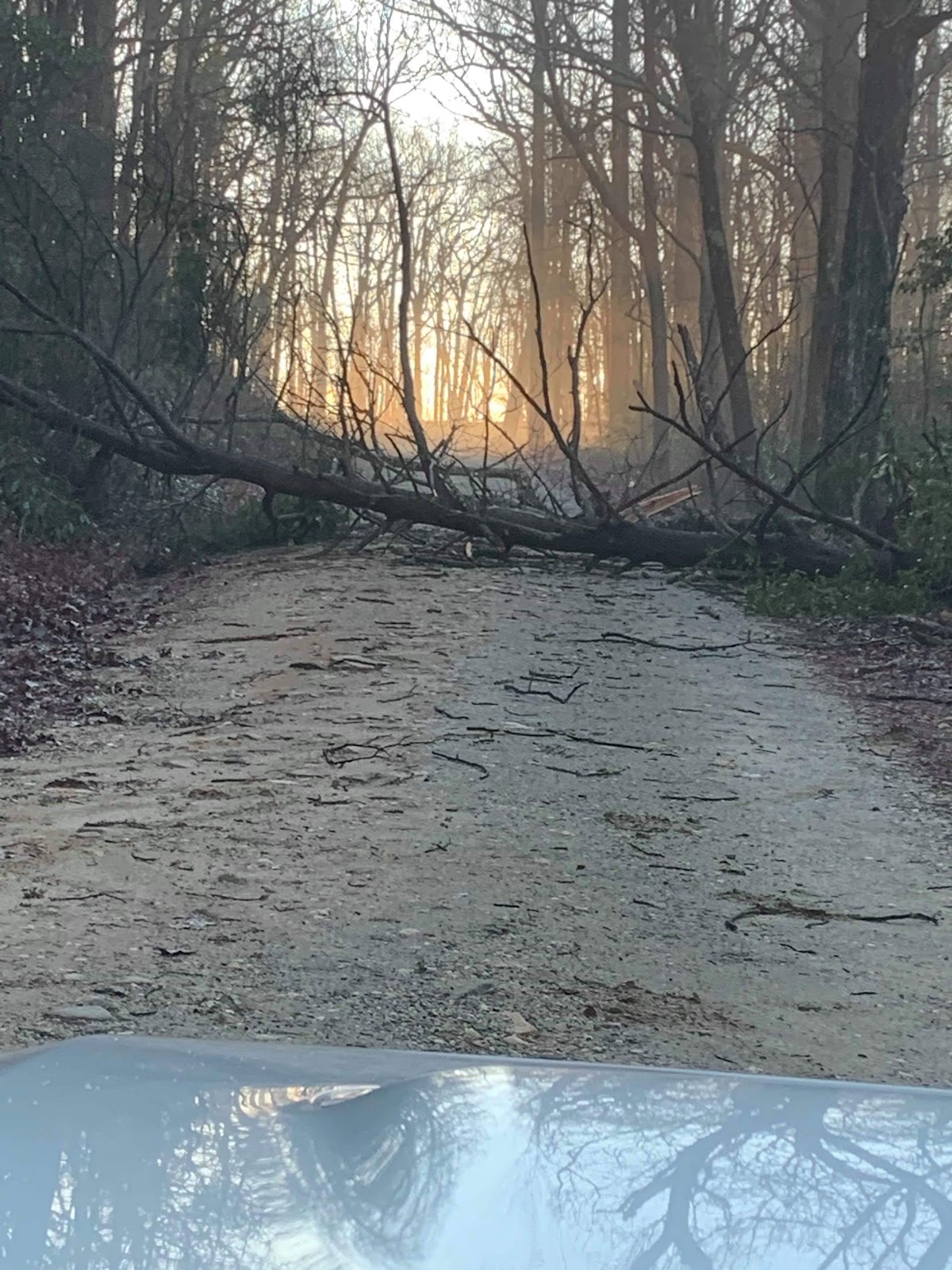
We then ended up getting blocked from accessing Springer.

The tree above was about a mile or so up the forest road to the Springer parking lot. So we changed our plans and decided to start from Three forks.
Next trip I’m gonna bring the chain saw.
The Route
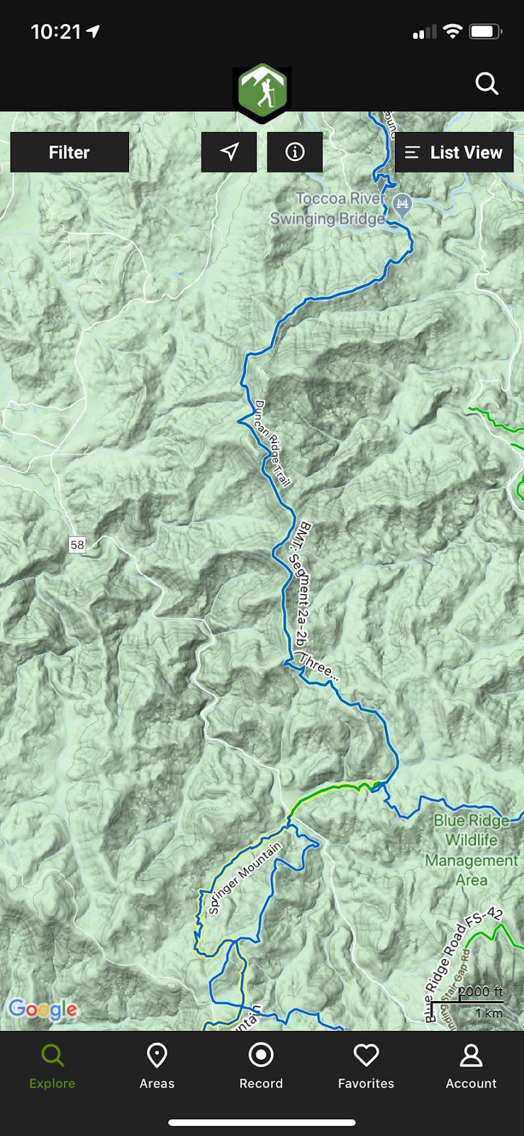
We ended up parking my truck on FS 58 at three forks where the AT and the BMT (green trail near bottom) cross. We did the loop below 58 clockwise, starting on the BMT and returning on the AT, just to get some additional miles in for our shortened adventure. It was a good choice. We got to see that part of the BMT and enjoy the steep up hill climb!
Although it rarely felt like it: “The route trends mostly down hill” 😆
Once back to 58 we dropped some unneeded gear at the truck. It was very warm and I unloaded all of my cold weather gear. I wished I had brought an even lighter shirt. I was already sweating pretty good. 70 degrees in January. Who knew 🤷🏻♂️.
Leaving the truck we headed up the trail to Long Creek Falls.
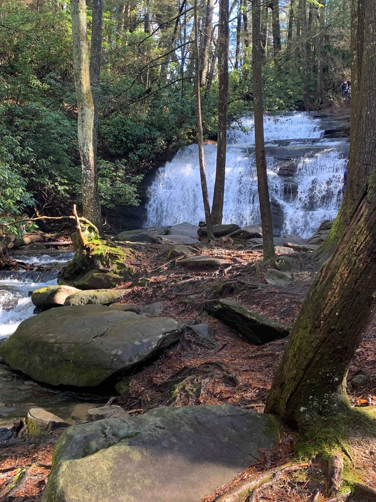

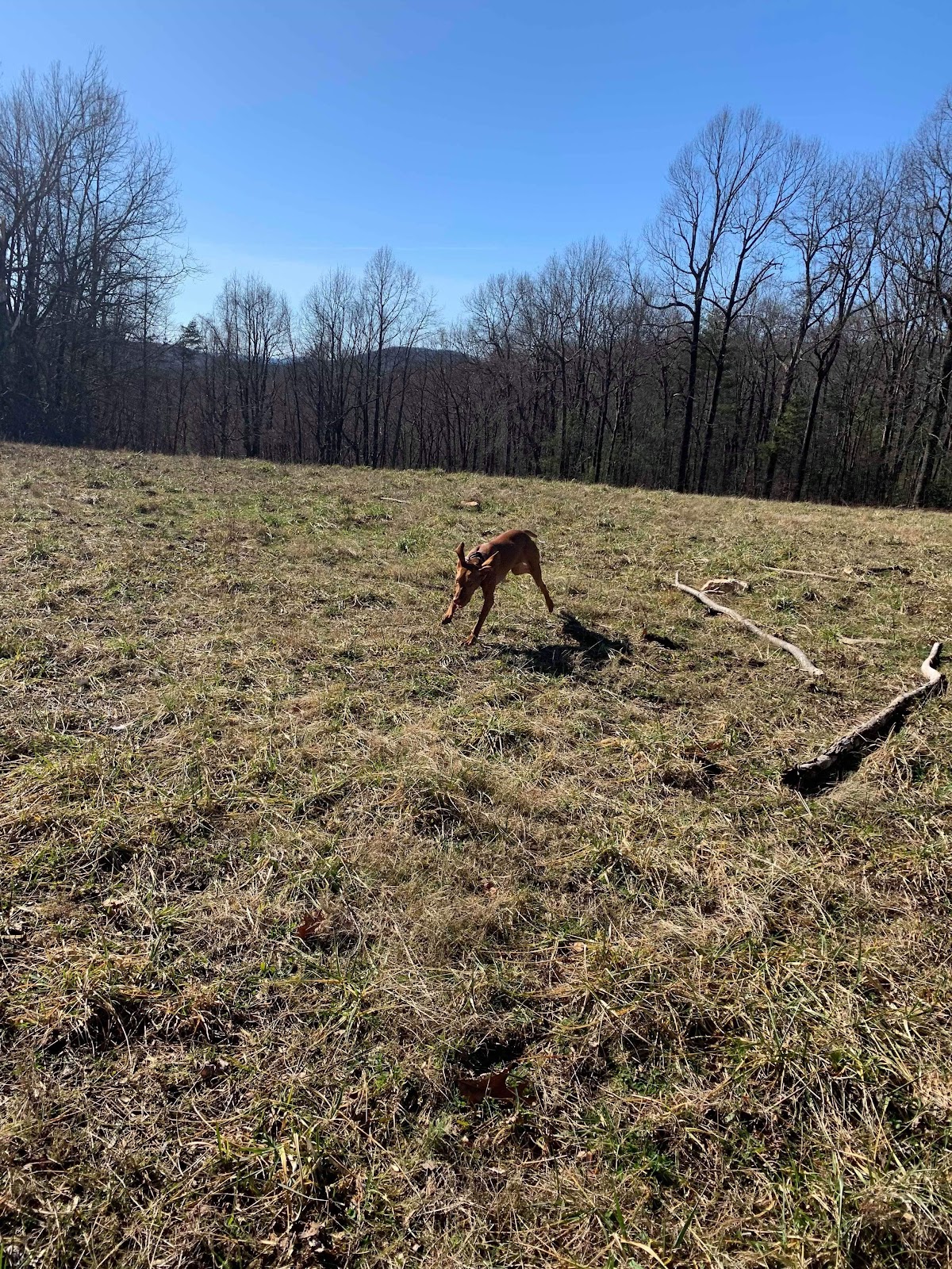
I watered up at the falls and then we continued on a steep uphill section to an unnamed bald. Ruby got to play and we enjoyed the impressive scenery.
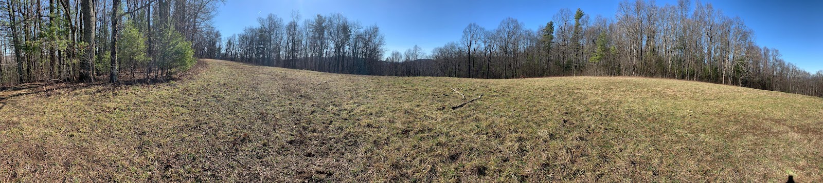
Leaving the bald we descended (because it trends down 😉) to No Name Gap.

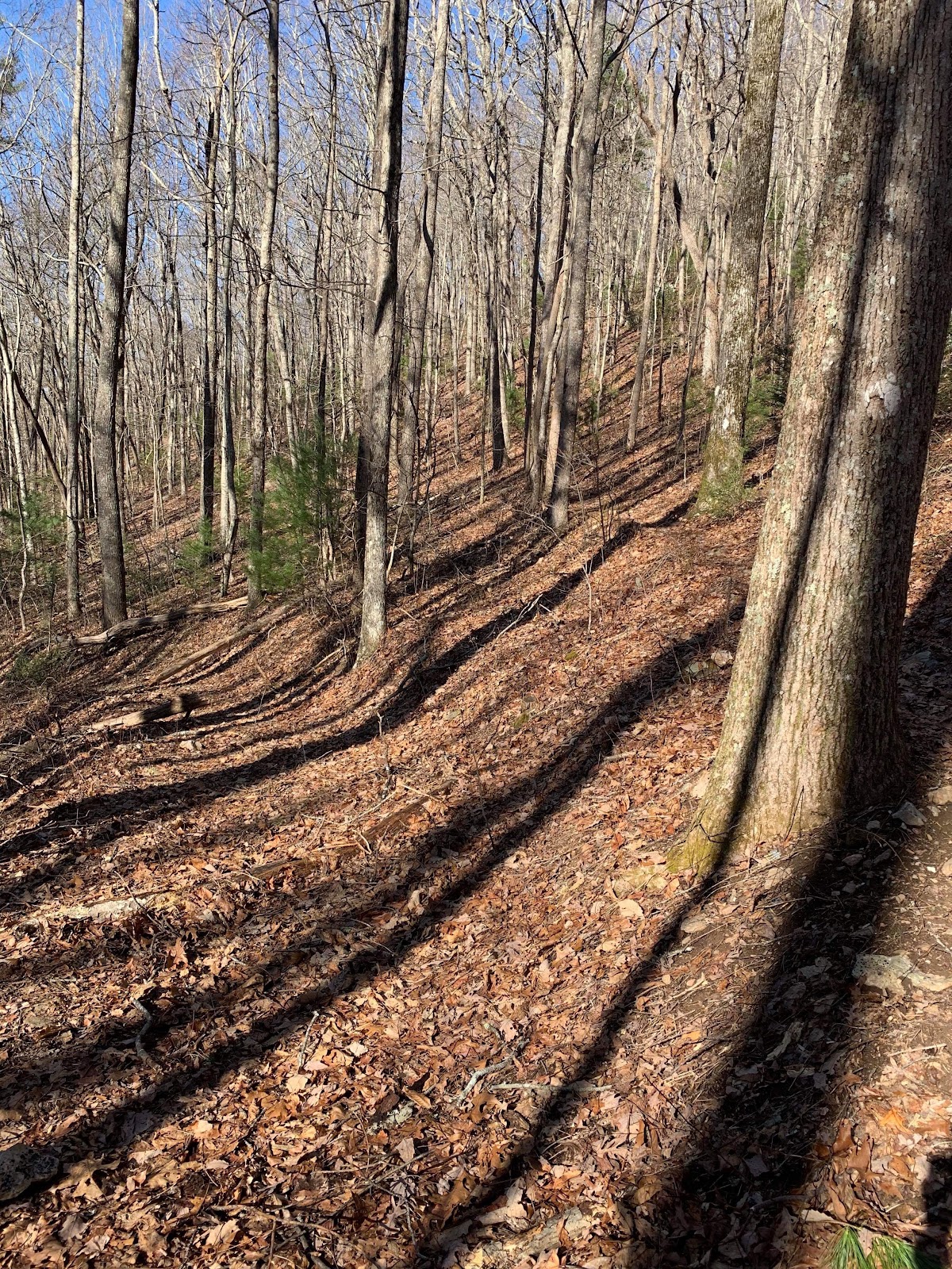
From No Name Gap we climbed up steeply towards Wildcat ridge and onto the shoulder of Big John Dick Mountain. The shoulder is an awesome tight bench cut trail. This is one of the most runnable sections and an absolute blast. It switchbacks down into Bryson Gap where I planned to get more water.


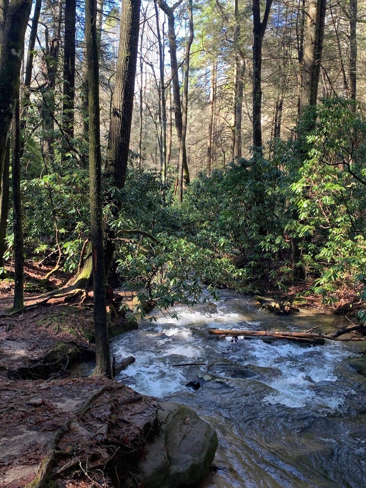
Water at Bryson Gap can be found on either side of the Gap. I chose poorly and headed down the side with an itty bitty trickling spring. It was tough getting water and I clogged my filter. The funny part is that we (me) took a wrong turn after this and ended up heading down the other side of the gap where our feet had to get wet crossing a significant stream. I’ll know better next time.
The pic above shows the way down to the good water access. I thought it was our route and we descended down about a half mile before figuring it out. Oh well bonus miles it is.
I remember reading about this turn in the trail guide: the trail heads a short distance down the NW side of the gap on an old lumber road, then shortly bears away from the road up the right bank. Be careful not to miss this turn or you may hike a long distance in the wrong direction until you discover the folly of your ways.
The “Folly” is certainly in my ways. 😆
Leaving Bryson Gap, on the correct trail, we followed a runnable ridge with views of the surrounding valley and bordering ridges. You could tell we were approaching the Toccoa River.
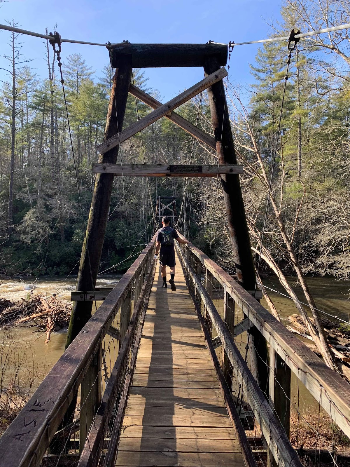
The drop down into the Toccoa was steep and we took our time to enjoy the crossing. The river was high and raging through its banks. Trees and debris gathered in random areas staged for the next storm to wash them further down the river.
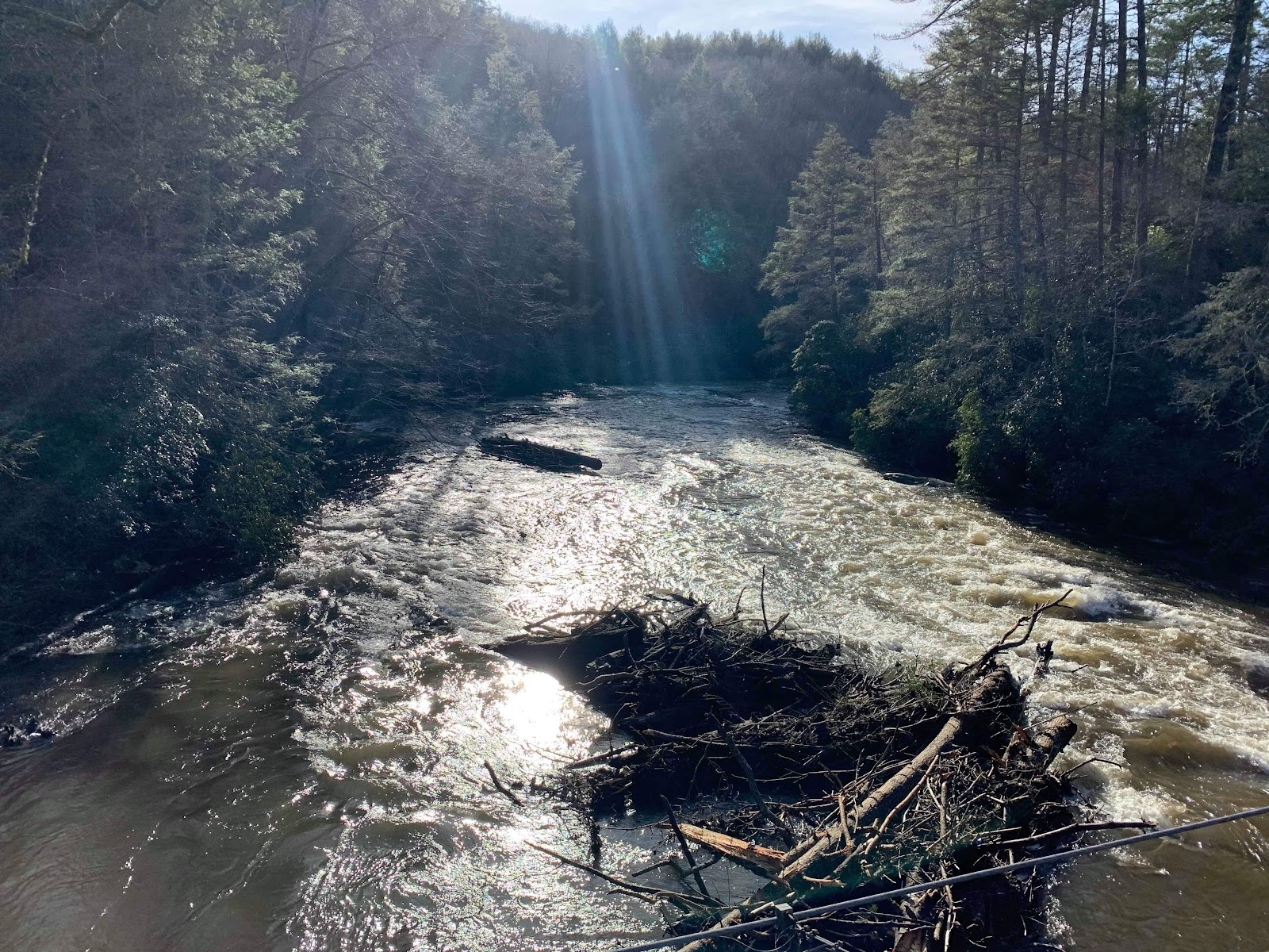
Crossing the bridge I was thankful for the day, the company, the warm sunshine and the cold beer just a short hike away.

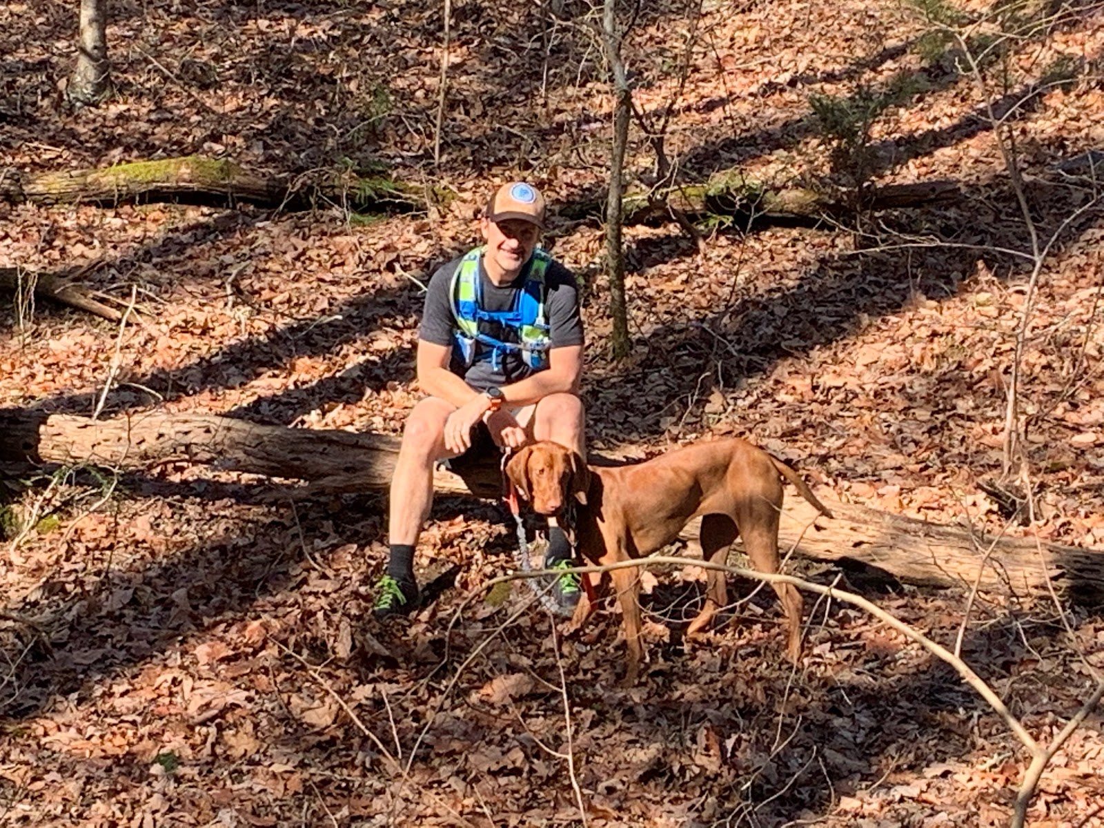
Thanks to Michael and his dog Ruby for joining me on this little adventure. It is always more meaningful to have company to share experiences with. And thanks to Michael for all the photos!
Good times.