I have wanted to see Jacks River Falls for 10 years or more. I’ve tried to plan trips to hike in from shorter and easier routes but it has never worked out. As part of my training for a “race“ in 2020 I came up with the idea of running in the Cohuttas. I’d be like Killian Jornet running high mountain ridges. The key differences being that he was at altitude and actually running. I did some planning and picked what I thought would fit well with my training level and desire for some adventure. I’d pack the fly rod, explore the river, find the falls, and enjoy the mountains.
The Route

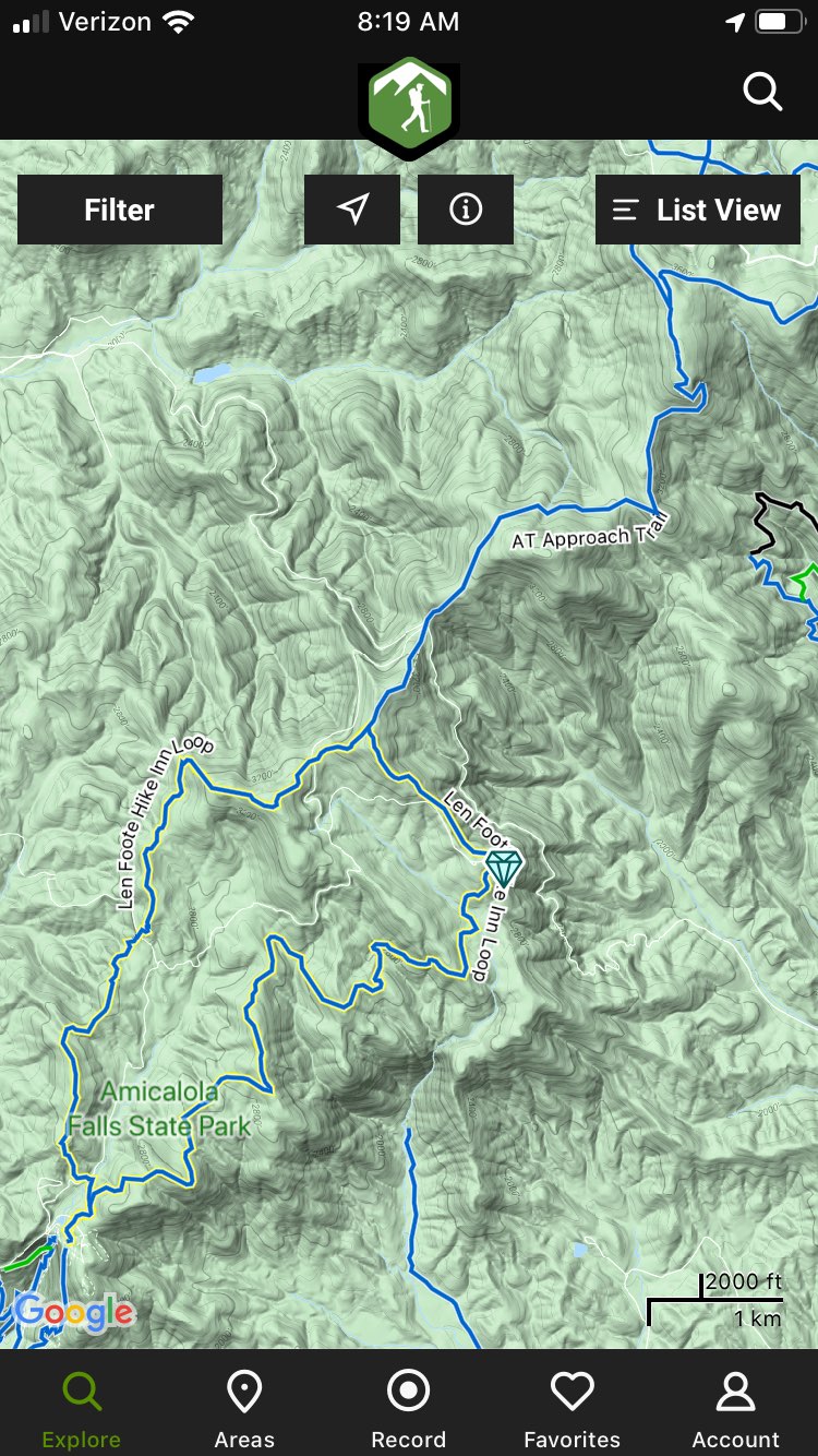
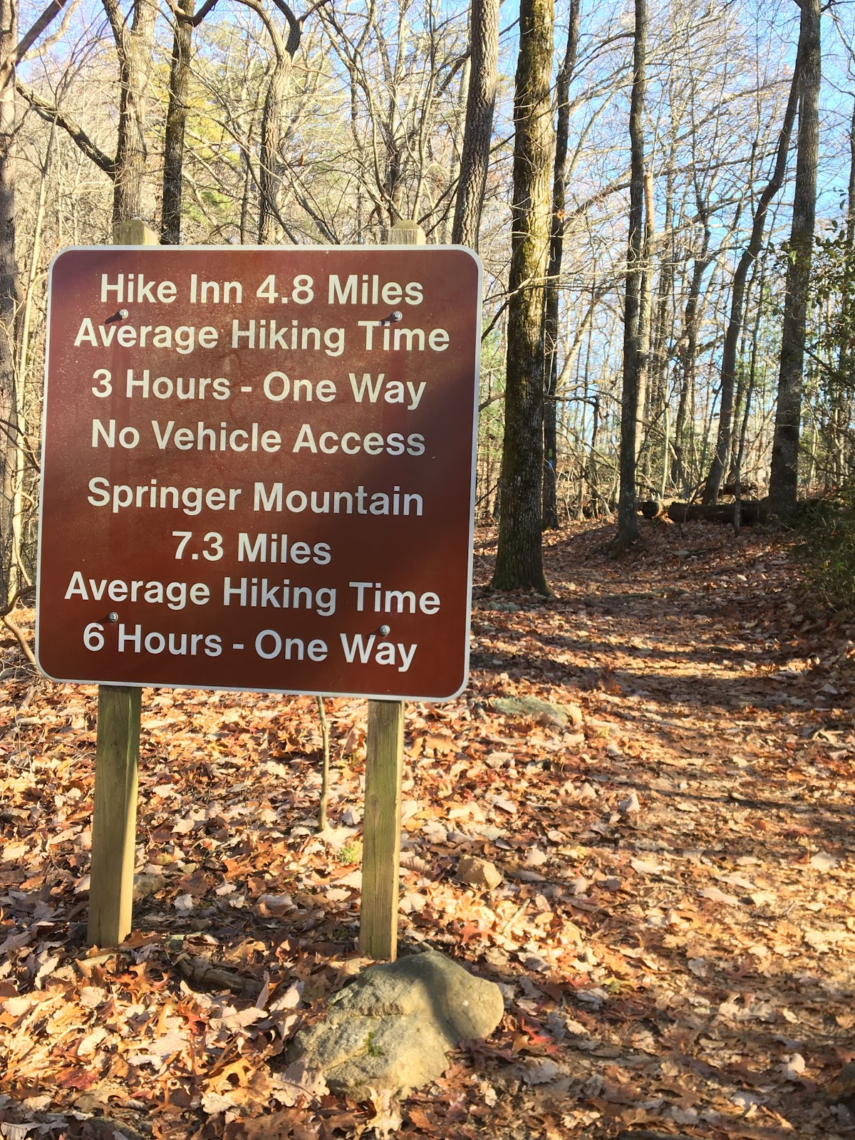
The route starts at Three Forks trailhead (bottom center of pic above) and follows clockwise East Cowpen, Hickory Ridge, Jacks River, and back on Rough Ridge.
I’m no stranger to Three Forks. I’ve passed it numerous times by bike or car and always wanted to explore it. To get there id head into the Cohuttas via Gates Chapel Rd and FS road 64. This passes Bear Creek and sections of the Pinhoti.
From Gates Chapel Rd


Waterfall just below Bear Creek overlook. Can’t remember the name.

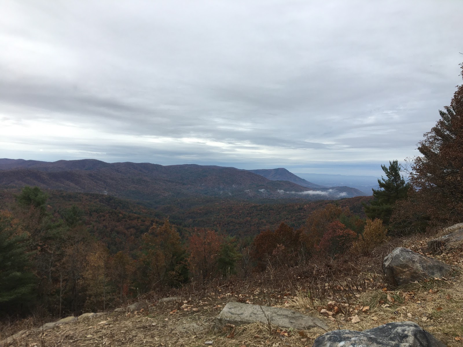
Bear Creek Overlook

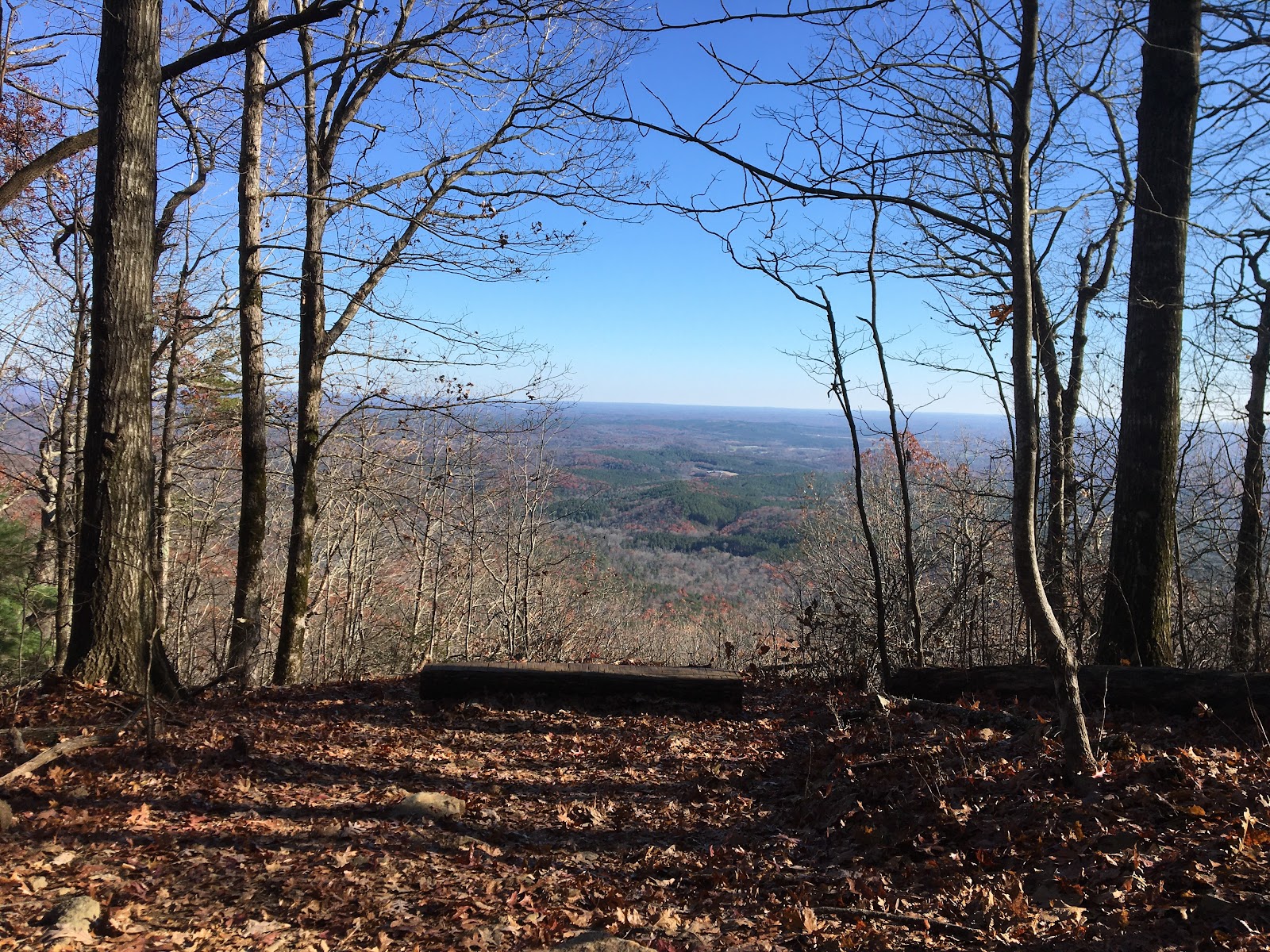
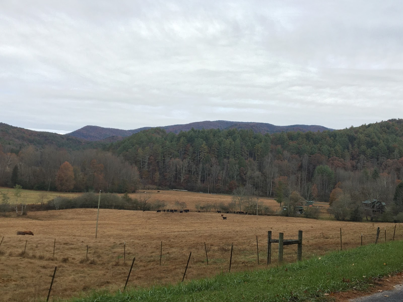
Mountain Town Overlook
Trail Conditions
The trails were at times faint and hard to identify with all the fallen leaves. There is a significant amount of deadfall and briar overgrowth. It was slow going and I had to route find often. There are also beautiful sections of high canopy, rugged terrain, runnable sections and some stunning views.

Deadfall
This area of the Cohuttas was on fire a few years ago and scars of the fire can be seen throughout the first half of the route. There are many dead and fallen pine trees that may be due to pine beetles and/or stress of the fire. I couldn’t tell for sure. There were several areas of the forest in transition from old to new. Large areas of once tall pines are now wide open with broken and blown down overlapping deadfall. Green seedlings about two to three feet tall are coming up now and will restore the area in the next 10-15 years.


Scars of the fire
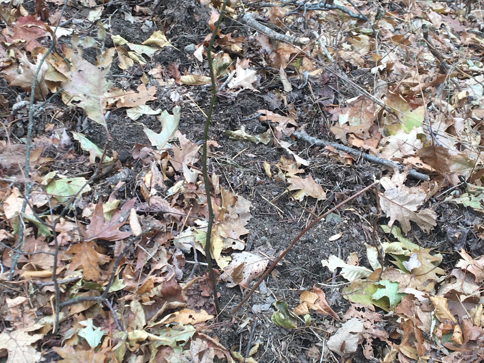
Scat and scrapings
Scat here scat there scat everywhere. I think I can recognize coyote scat pretty well and saw it everywhere. There were a few scat that I could not identify. My only guesses are bear or pig but I’m not sure.
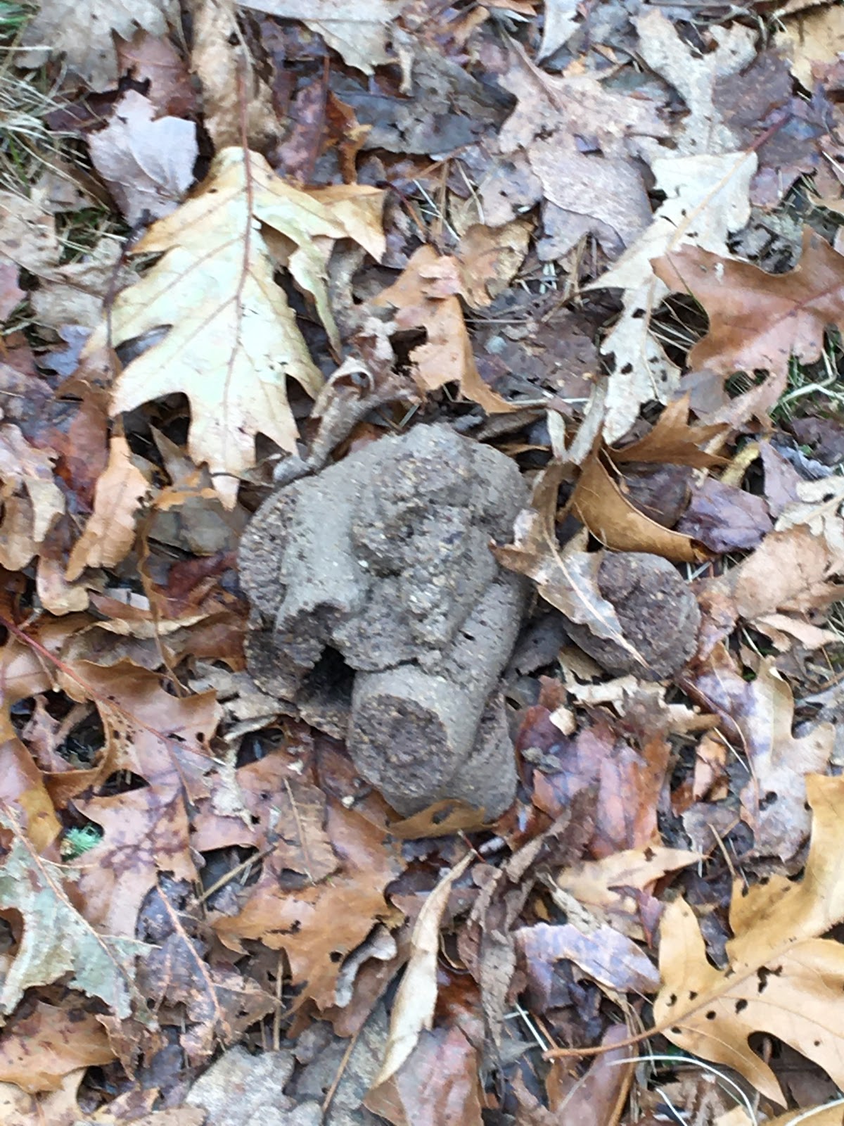
Um what made that?

And what made that?
The entire route had pig scrapes, usually on slopes. Lots of wild boar in this area.
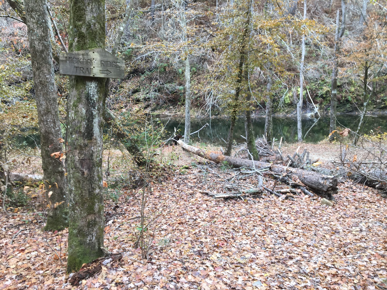
Panther Creek Trail
A few years ago I did a hike into the Conasauga River and explored Panther Creek with my dog Abby. We had to turn around because it was too rugged for her to follow me. I remember being on all fours traversing large boulders and being face to face with what I think was a big pile of bear scat. The area made me tense and I felt like prey. We got the hell out of there. If we had kept going we would have made it to East Cowpens.

Top of Panther Creek trail.
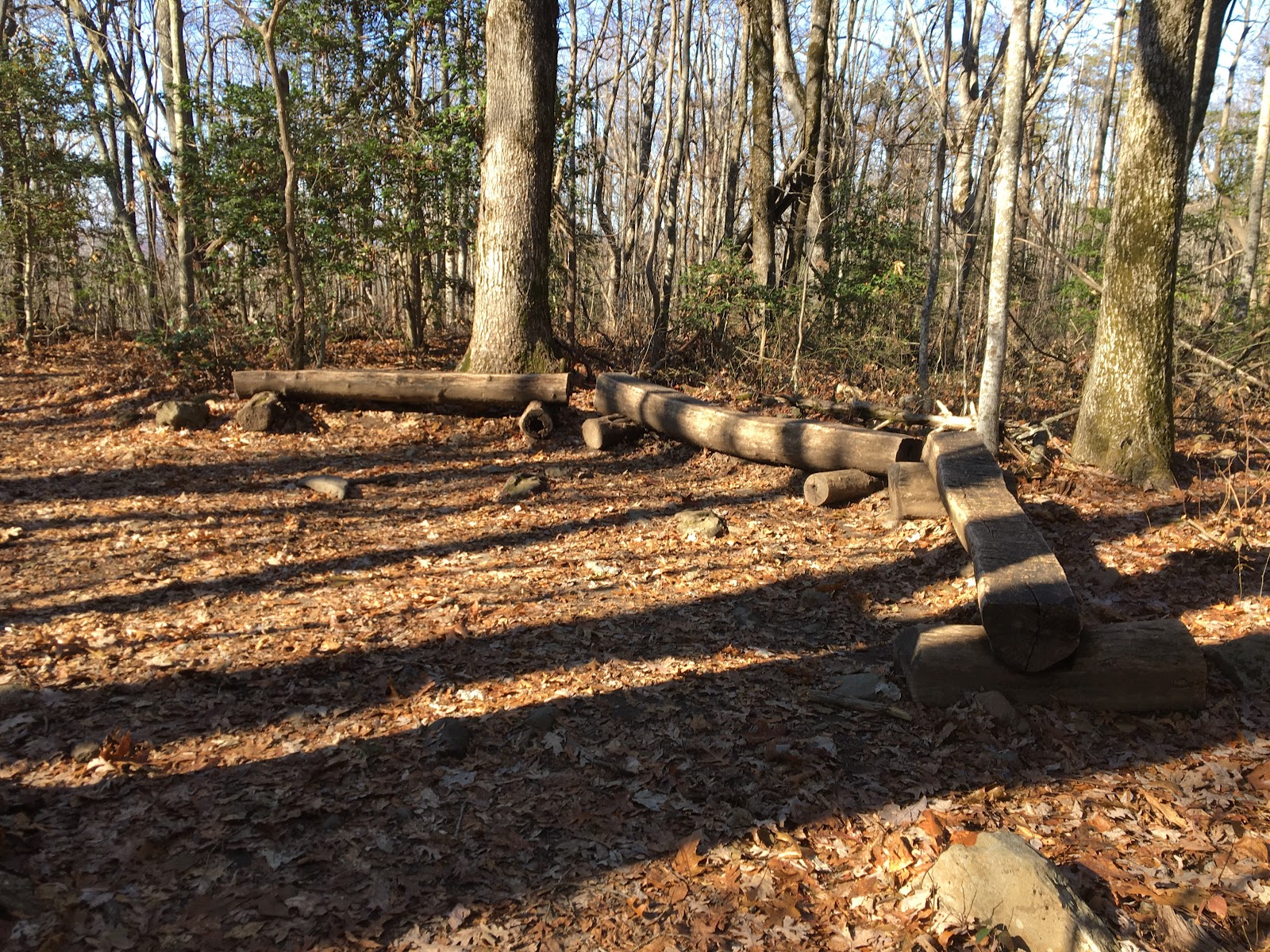
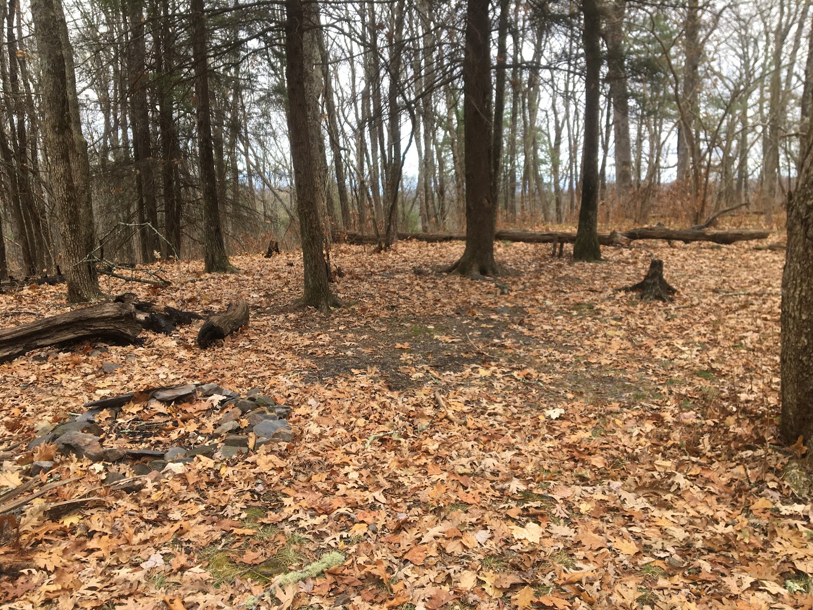
Campsites
There are several campsites along East cowpen and hickory ridge. Maybe a future trip we can camp out and have more time to fish the river.
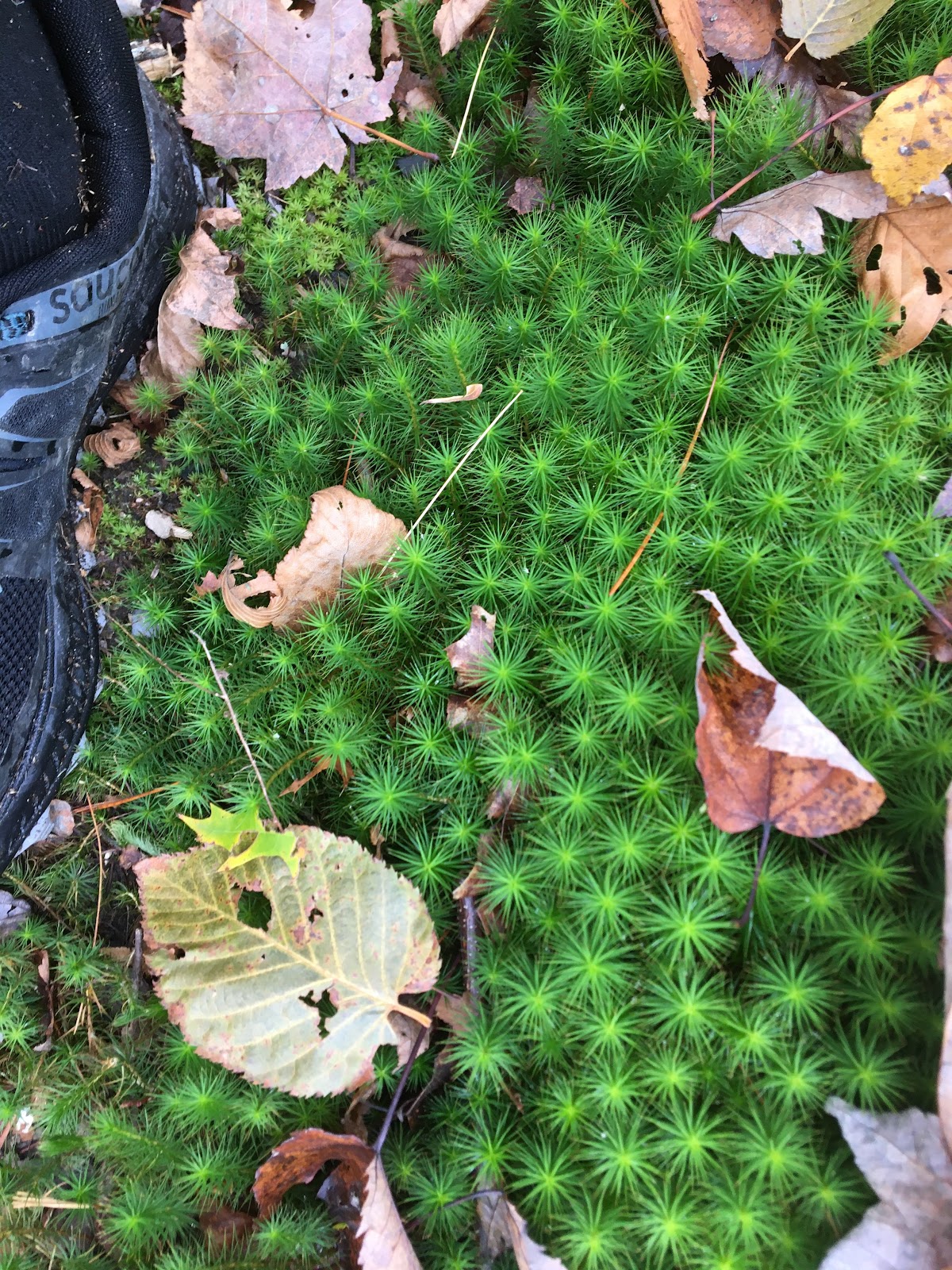
I don’t know what these are but I hope to find out. There are several areas with lush green ground covering plant life.
Reaching the River
I reached the river about an hour behind schedule. The trail seemed to just stop at the waters edge. I looked for the bridge or log or series of rocks that would take me across the river. There are no such crossings. I never considered I would have to wade across the river. Nor did I consider I would have to do it multiple times. It was painfully cold and slippery. I came close to falling in a few times. How did I not think of this?

First river crossing
Once across the river I made my way to the falls. I was blown away with the rugged magnificence of the rock structure. It has multiple levels and deep pools. I climbed out to a rock outcropping to get a picture of the entire falls.

Entire Falls
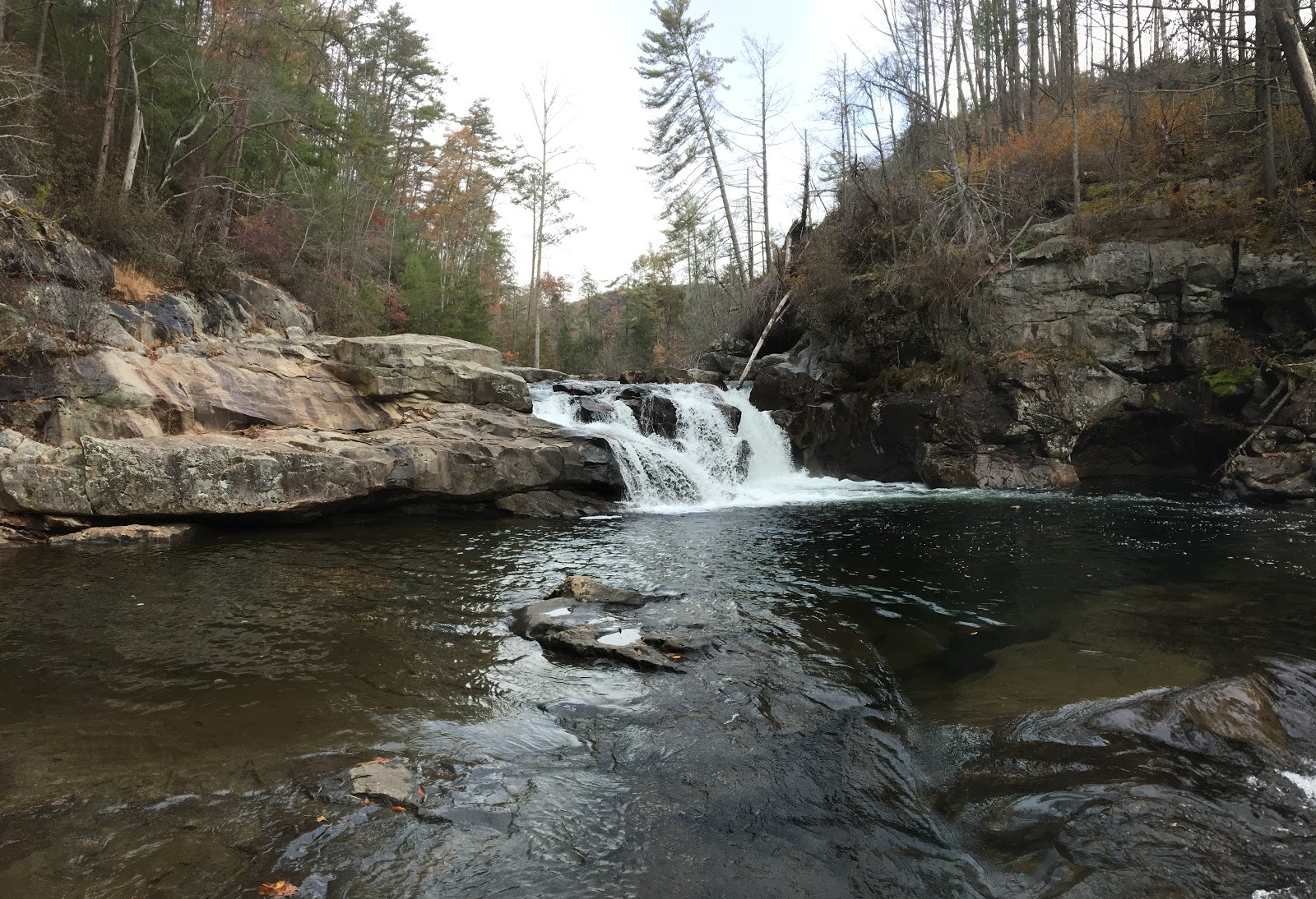
Upper level
Fly Fishing
Part of my plan was to spend some time fly fishing. How cool would it be to hike in see the falls catch a fish and hike out. What a cool story that would be. Yeah, I cannot tell that story. I did fish though. Near where I crossed the river there was some top water activity so I checked it out. Turned out to be a massive rainbow. Maybe 24in. It was huge, larger than my gear could handle. I didn’t have a lot of time but I was certainly going to try. I spent about 30 mins trying to entice a bite but it never happened. I watched as he roamed up and down the river. I’d love to go back and spend more time. Maybe when it’s warmer??
Big fish in here!
Finding the Way out
Finding the way out wasn’t easy. I had an idea of the direction but it wasn’t obvious. I ended up having to cross the river two more times and did a lot of route finding before I was sure I was on the right trail. Maybe I’ll bring waders next time.

Yes I want the Rough Ridge Trail!
The trail out was steep and darkness was approaching. I was more than an hour behind schedule and my pace was initially about 30mins a mile. I had 8 miles to go. The math was against me and I knew I’d be using the headlamp. Luckily my pace increased as the steepness decreased and the trail opened up.

Darkness approaches
I made it back to the trailhead about an hour after dark happy to be done. I love the area and I’ll be back.