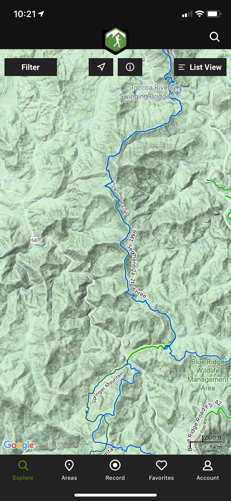
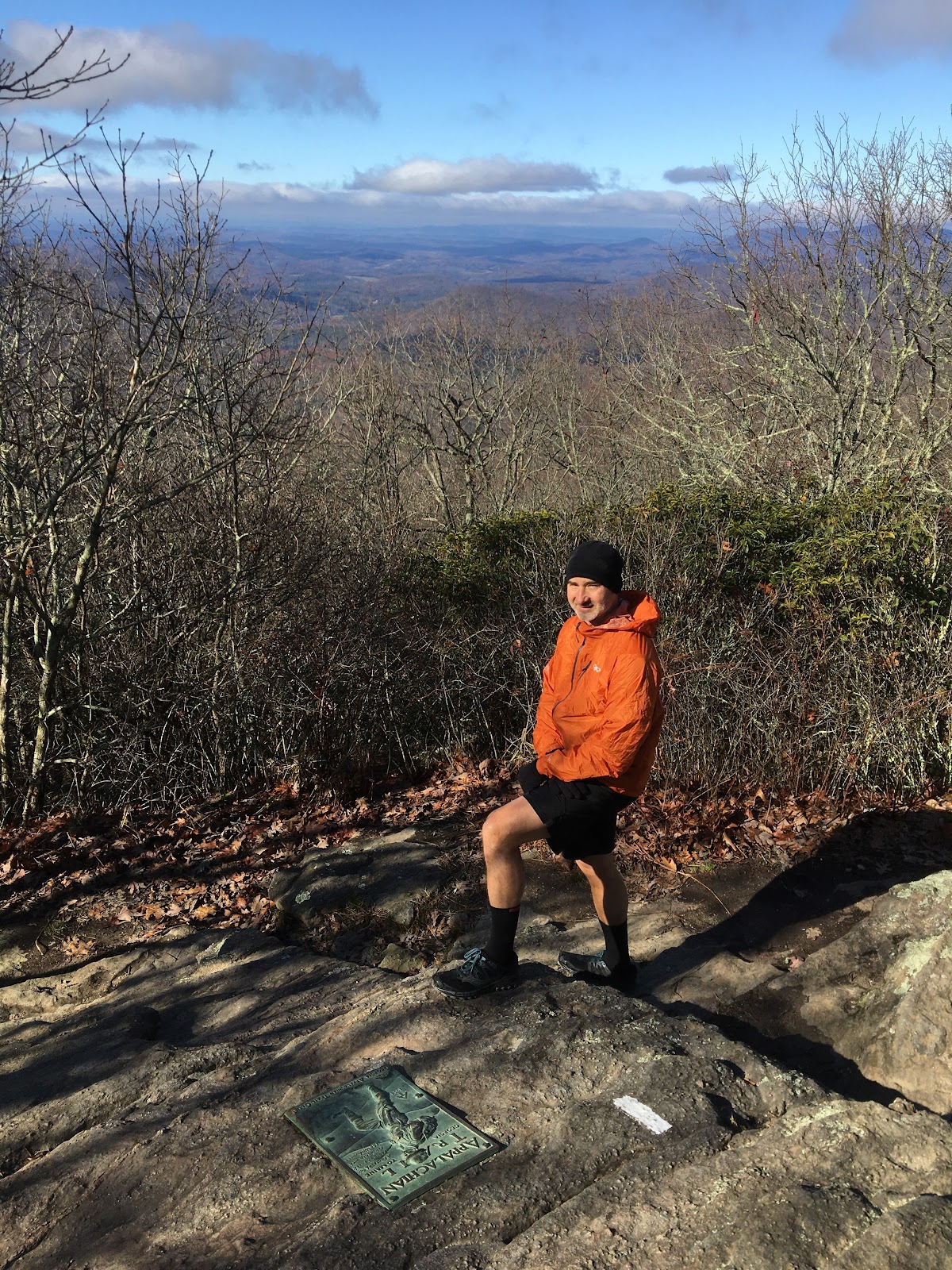
Sunday, February 23, 2020

BMT Swinging Bridge to Shallowford Bridge


Feb 22 2020

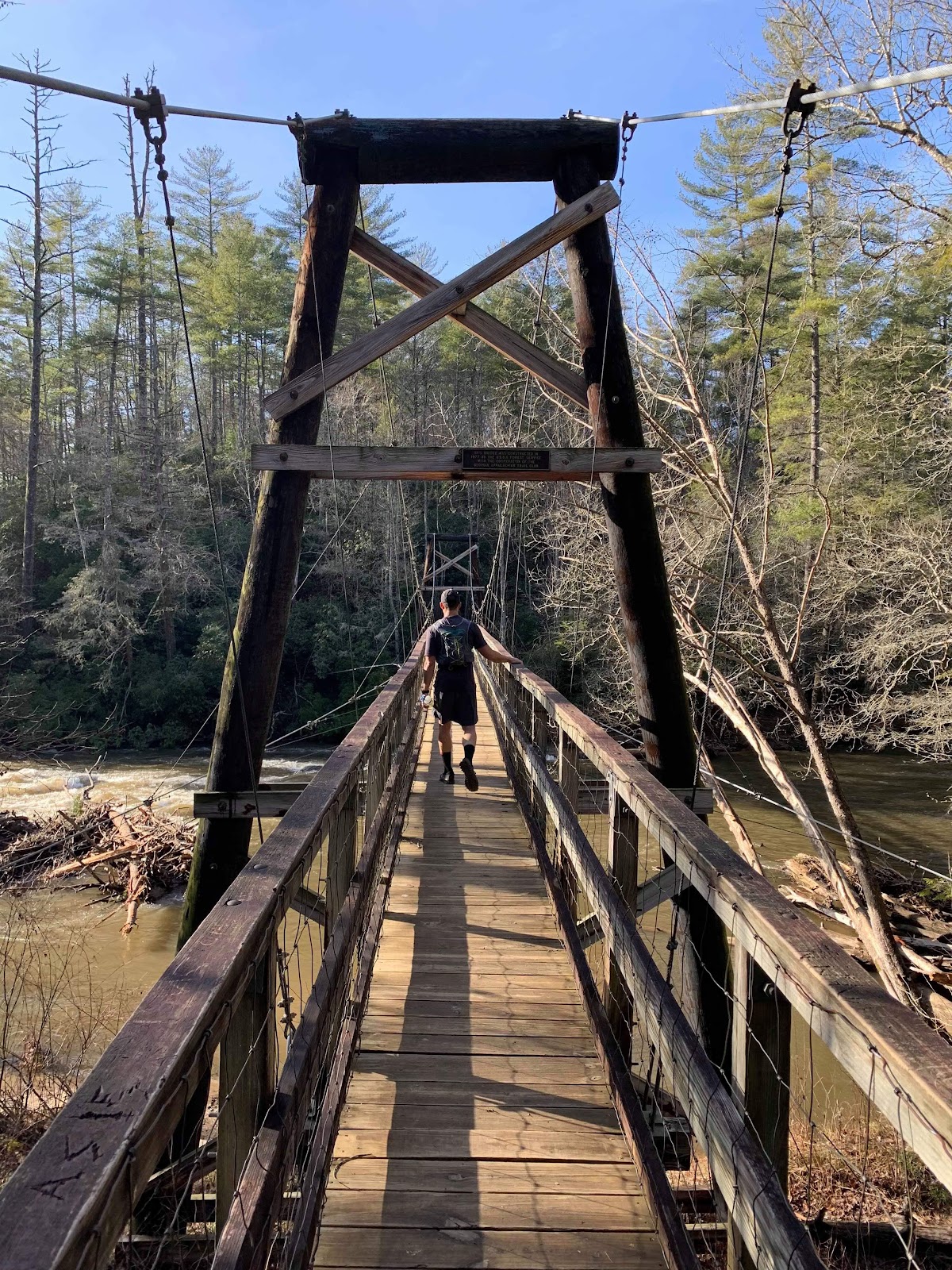
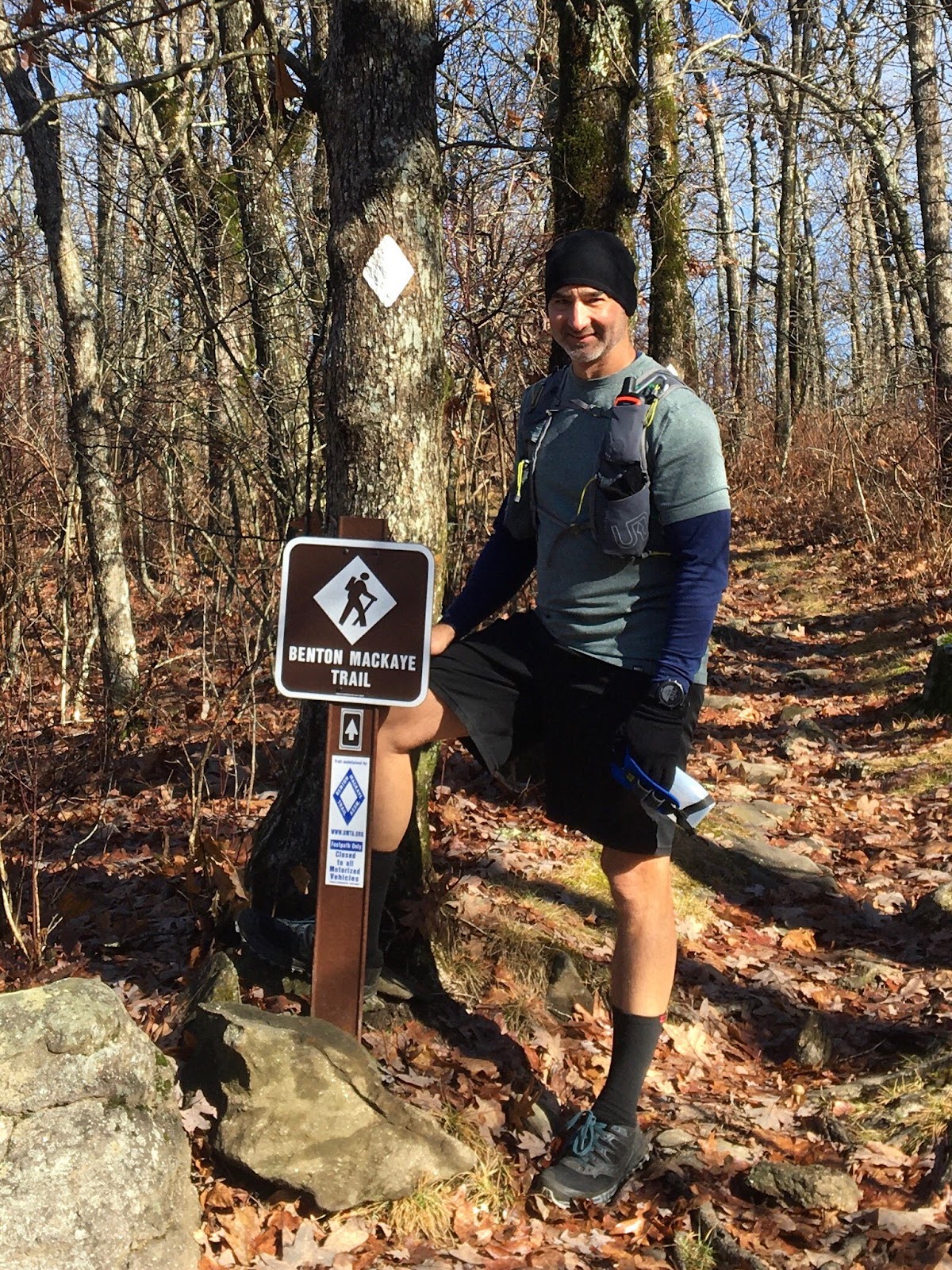
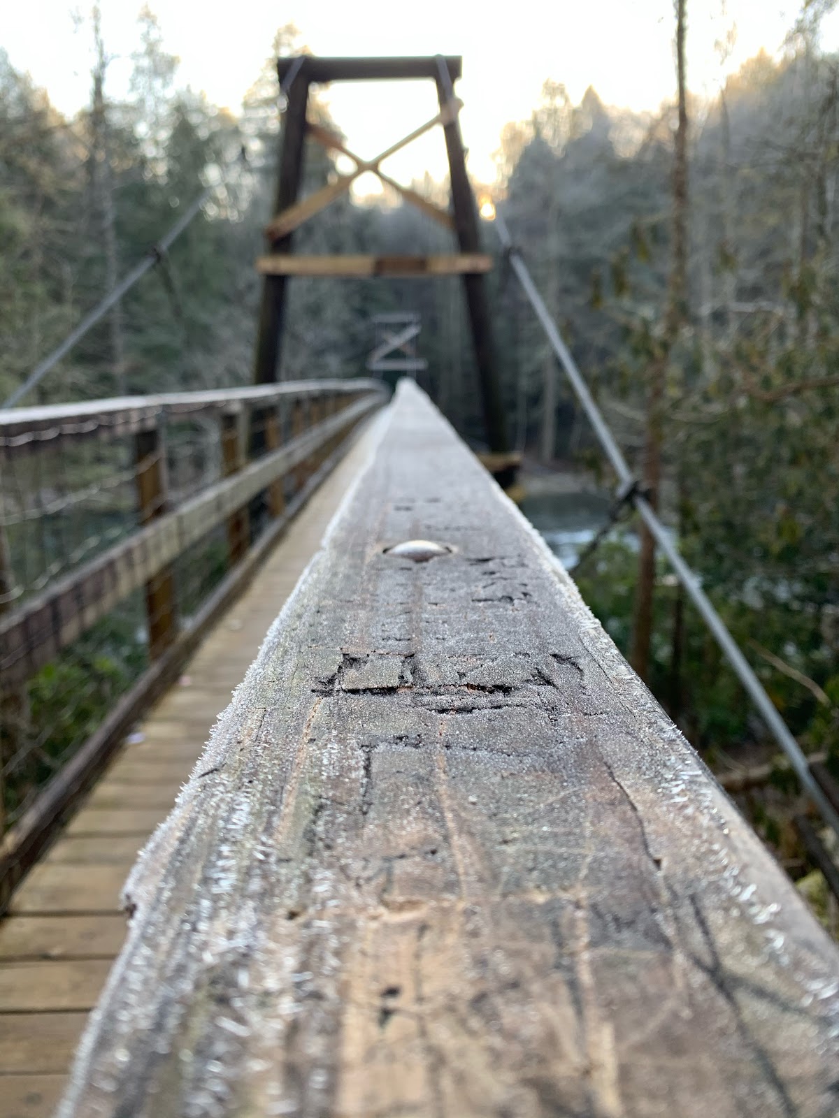
Epic day for 24ish miles on the BMT from Swinging Bridge to Shallowford Bridge.  


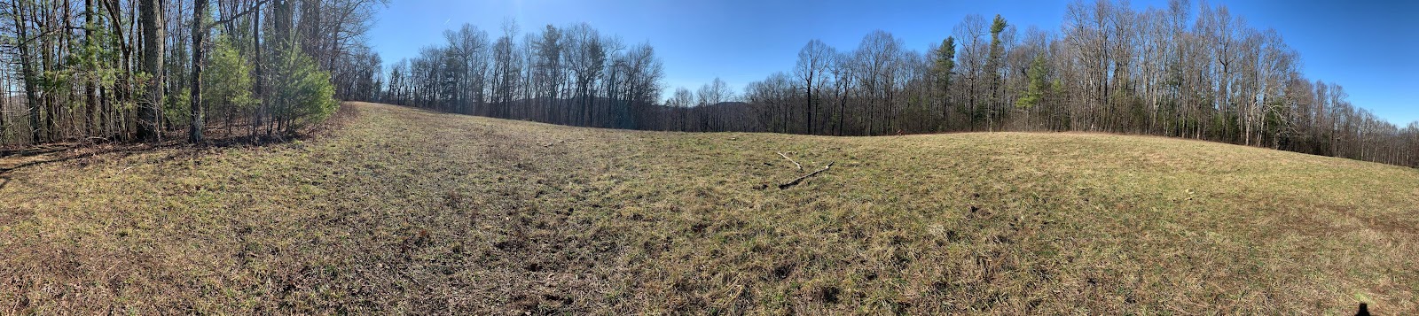
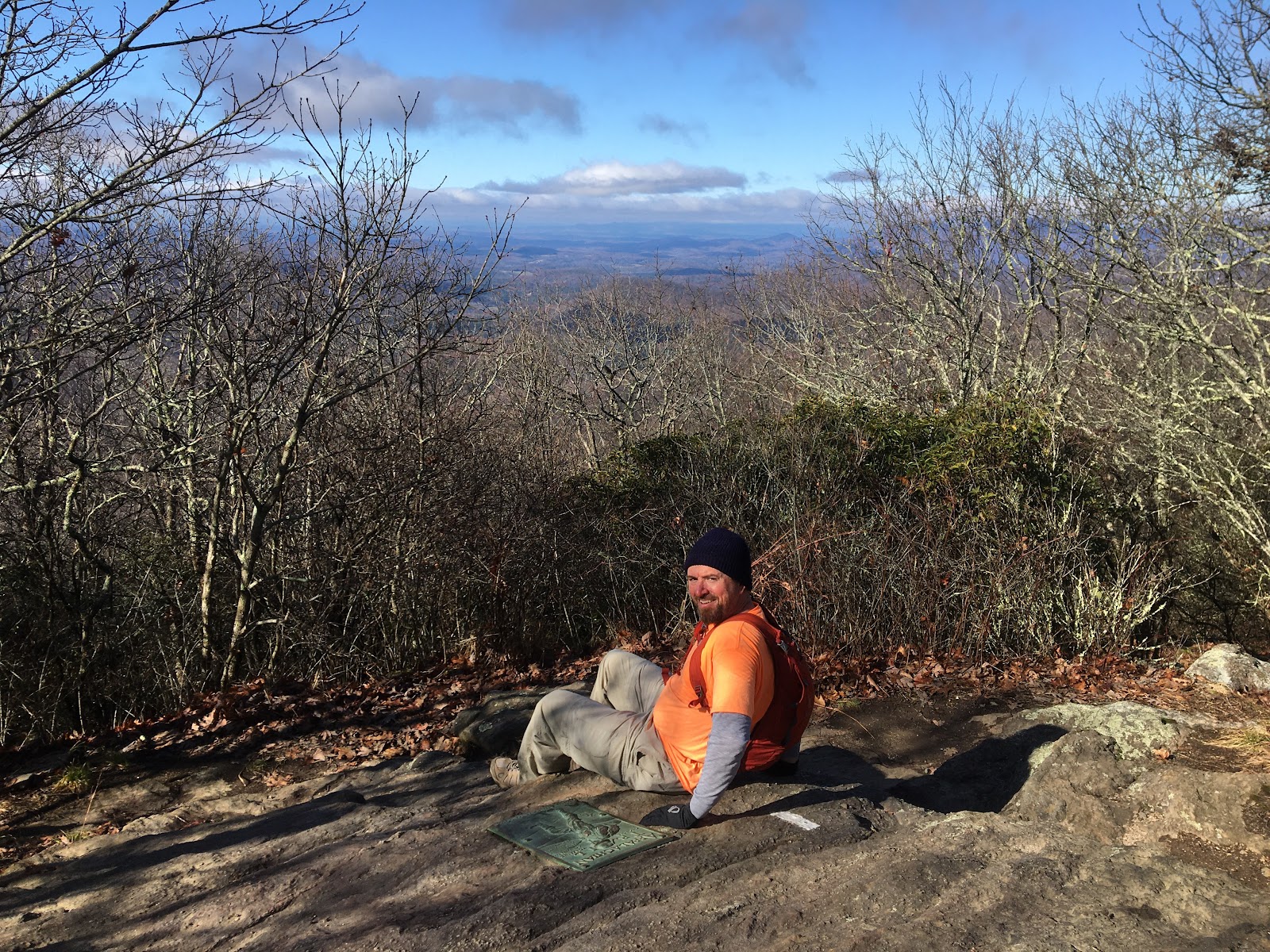
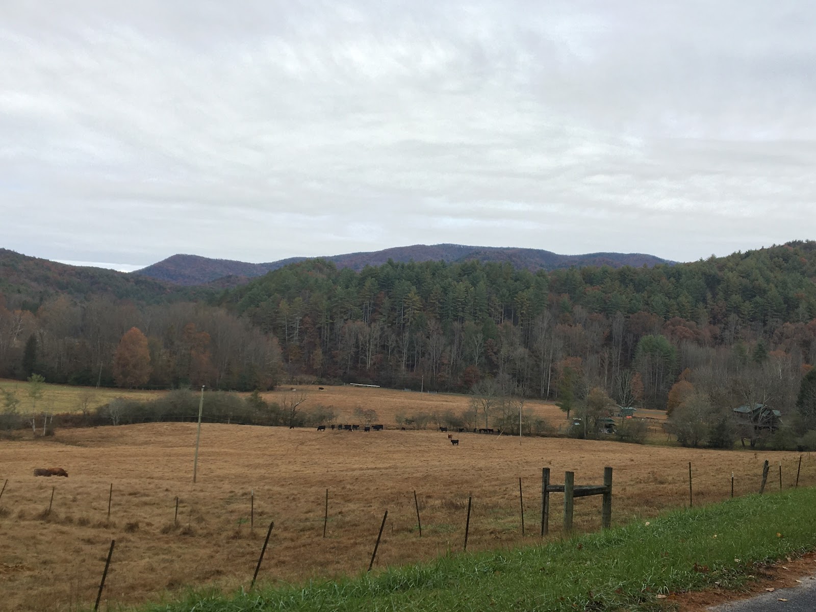
I think this is Tipton mountain, or the bump just before it, as you travel from Morganton to Wilscot Gap on hwy 60.  I wasn’t expecting there to be any snow and wondered what the starting temp was going to be.


The answer is 20.  20 degrees with zero wind and a clear sky isn’t that bad.  I had prepared for frigid temps with two layers on top, running pants, warm gloves, a balaclava, and a beanie.  A puffy was a game time decision and I’m glad I left it in the truck. In less than a mile on trail it felt like a day at the beach (a cold day).  I dropped the top layer, gloves, balaclava, beanie and was still breaking a sweat. The pants came off soon after that.  For the rest of the day I had a single layer, buff and light gloves and a backpack full of clothes I didn’t need.  That combination worked perfectly.


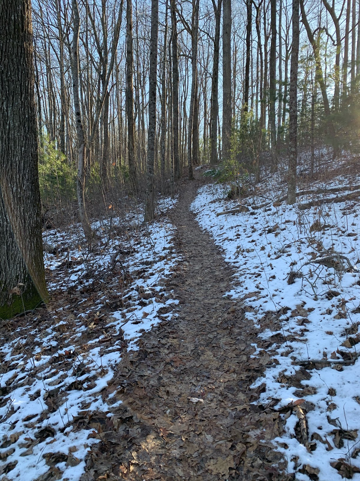
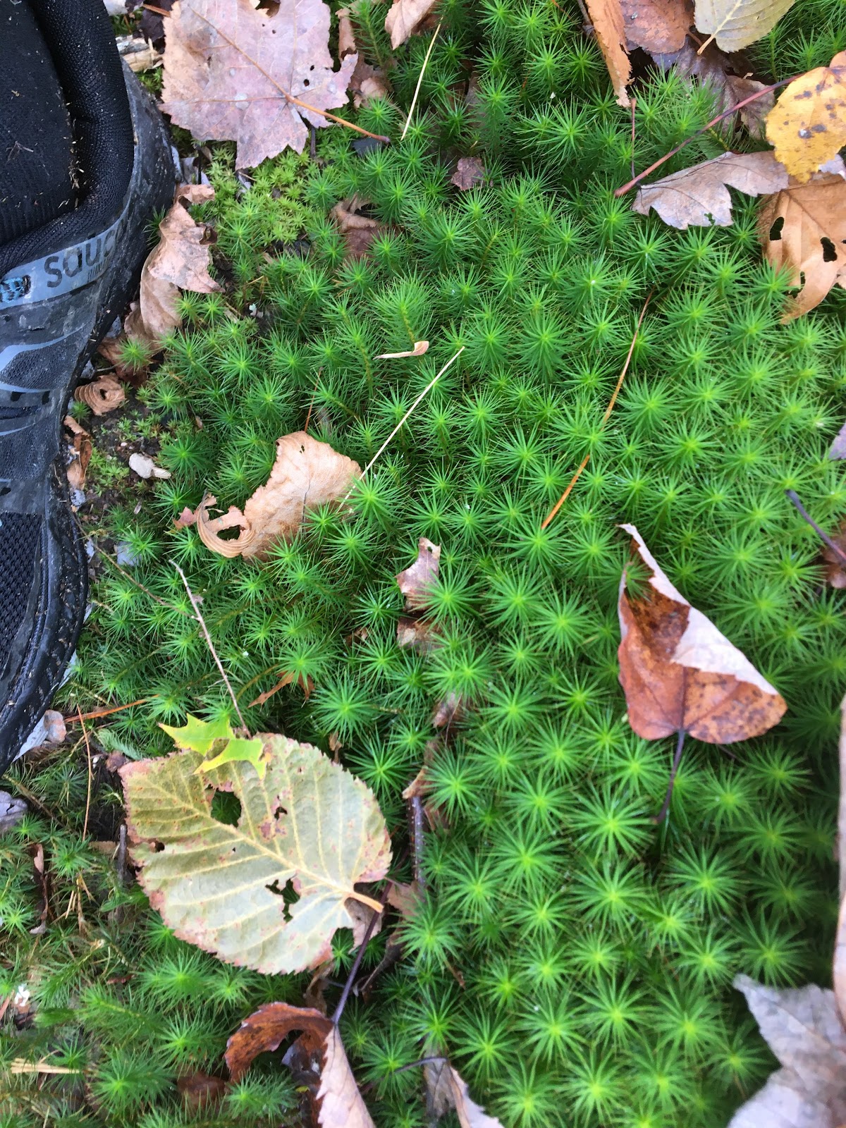
The first climb of the route on Toonowee Mtn had a light dusting of snow on the shaded side of the ridge.


I crossed hwy 60 at mile 4 and refilled my water from the small cache I placed earlier.  I made my way towards Wallalah Mtn passing several runners that were out training for the Georgia Death Race (GDR).  The trail switched back and forth gaining ground on the summit and allowing a nice look back at Toonowee Mtn.


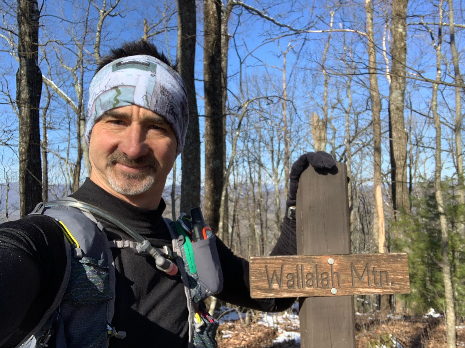
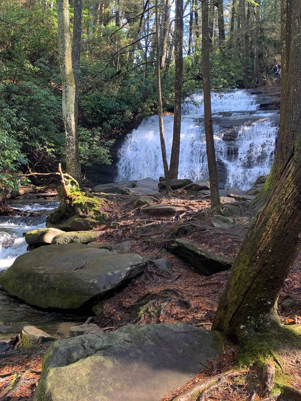
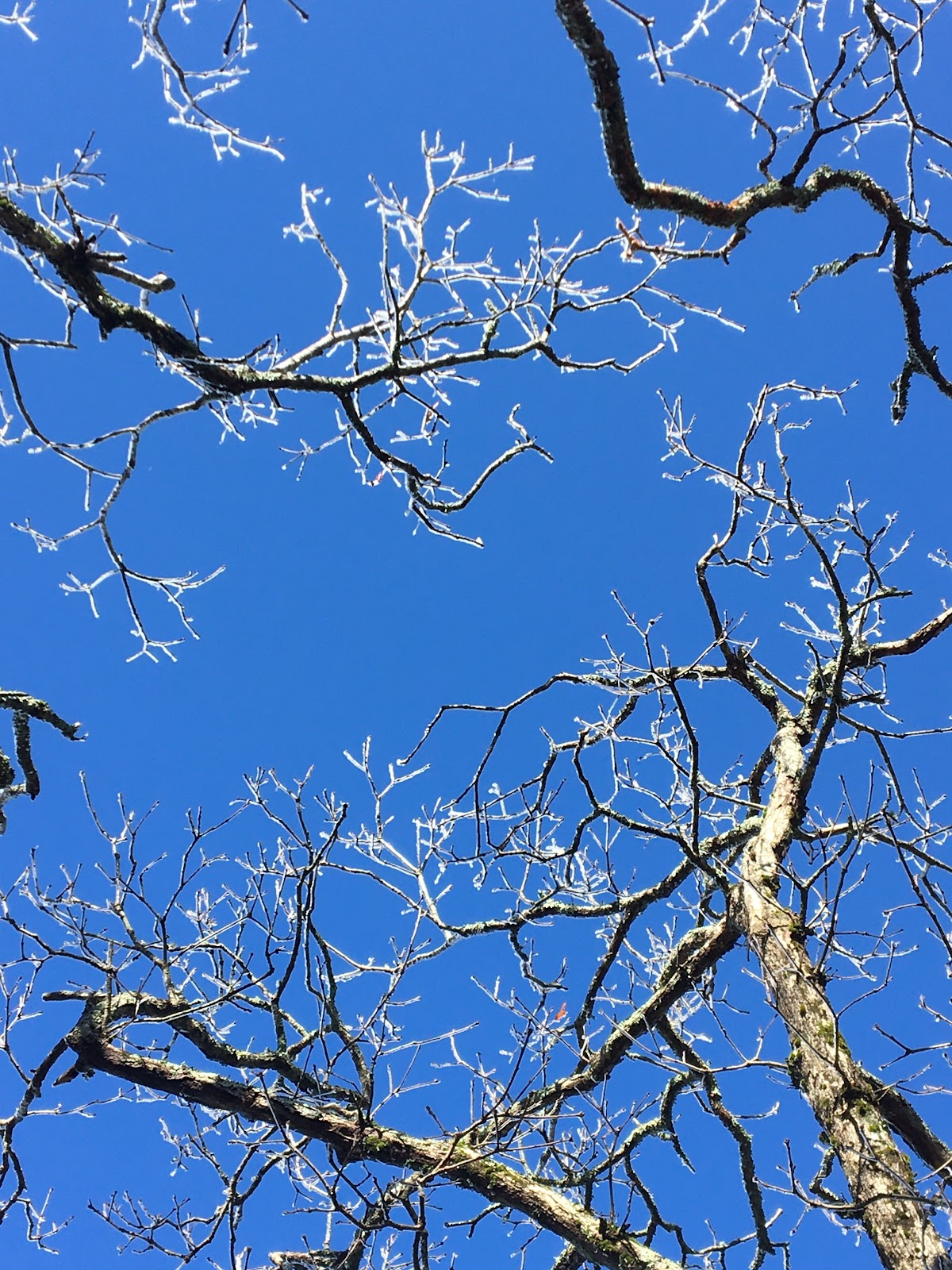
The BMT is all about ridge lines and summits. If you are wondering where the trail is headed just look for the nearest high spot, that’s it. I continued on the switchbacks and hit the top of Wallalah at mile 6 enjoying the views.  Off the back of Wallalah there was a bunch of snow and I took the video below.  

If you click the link you can control the playback resolution.


It’s interesting how some areas hold cold air even though they get full sun.  The back side had about two inches of snow and was significantly colder.  It felt like a winter playground.  


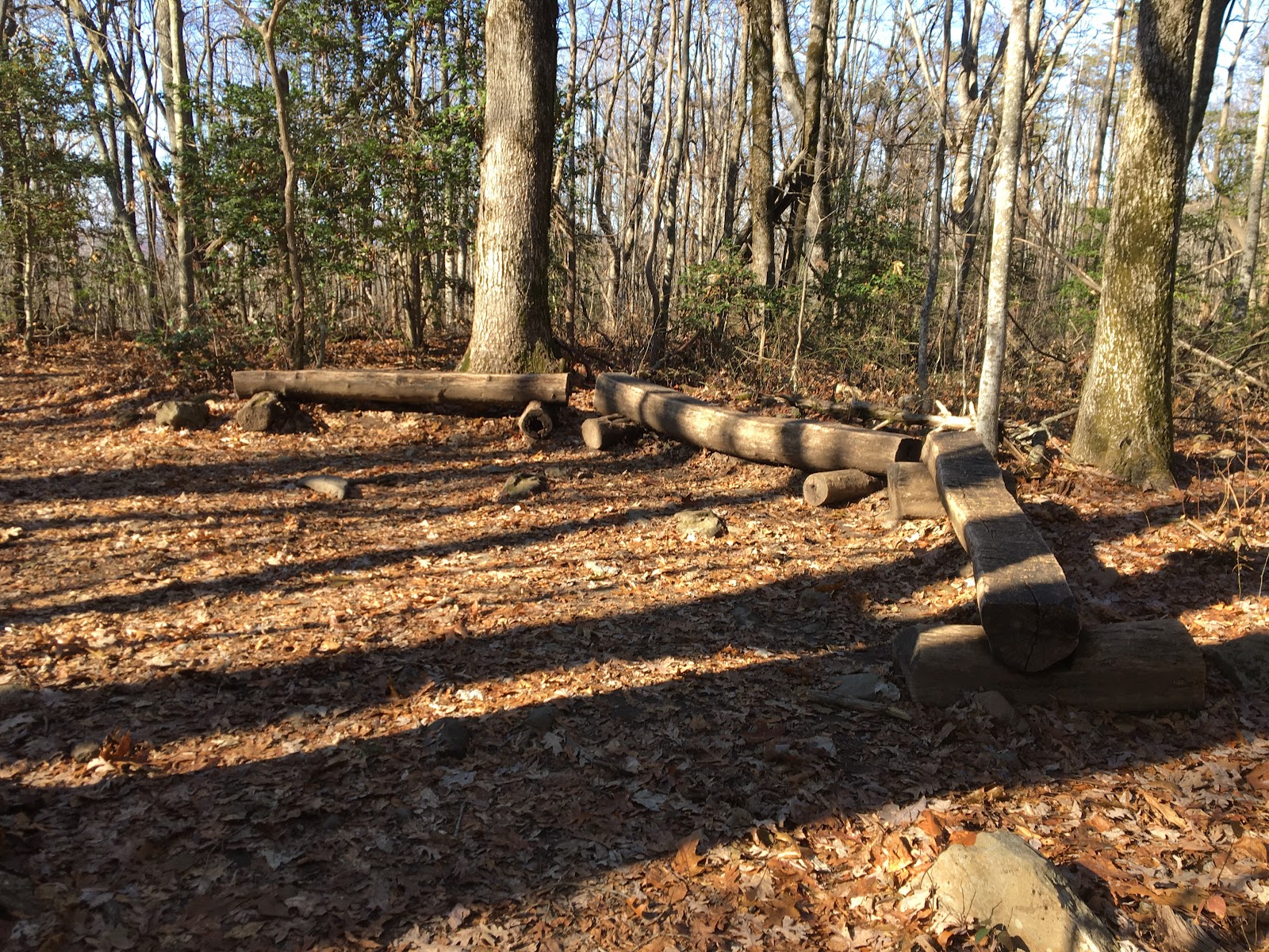
Continuing on I passed Licklog Mtn and got to the junction with the Daniel Ridge Trail.  I knew from the BMT guide that there was a nice overlook just up the DRT a short distance near the summit of Rhodes Mtn.


The overlook was off trail about 50’ or so with a rock base covered in green flaky Lichen.  


Views of Licklog and Wallalah Mtn (I think).


I dig these gnarled up trees.  It seems like they grow this way on mountain tops or areas with exposure.  I recall similar trees at the summit of Springer Mtn.

Leaving the overlook, I descended back to the BMT drinking the last of my water with about a mile or so to reach my resupply at Skeenah Gap.  I met up with a few GDR runners headed the same way.  I spooked one leaving the overlook and then got passed by another one on the way down.  They were impressively quick on their feet and out of sight in an instant.  Hi and goodbye.

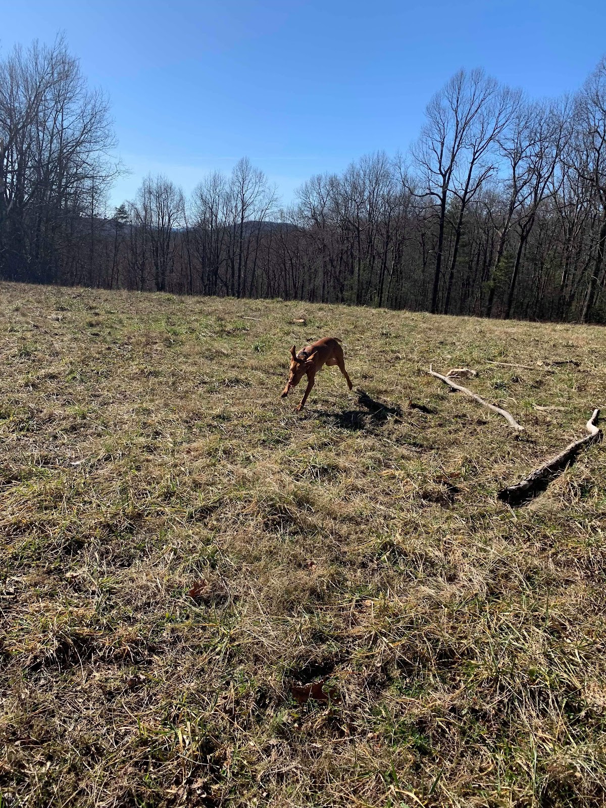
Skeenah Gap is mile 10 and where my friends Les, Brenda, Dan and their dog Bandit had parked.  They were doing the second half of the route and had left water for me.  I took a short break feeling a bit tired and hungry.  I was consuming about 200cals/hr and felt hungry all morning.  I started eating the jerky and had a big gel with caffeine.  My friends were hiking and had about a 4 mile lead.  I wanted to catch up to them before the Brawley Mtn Fire Tower and decided to pick up the pace.

My next resupply was at Wilscot Gap at mile 15.  I put my camera down and worked to make time.  I passed through Payne Gap, crossed over Wilscot Mtn and descended into Wilscot Gap to refill my water.  Crossing Hwy 60 I ascended an old roadbed towards Tipton Mtn.  This section was steep, long and shaded from the sun.  The temps dropped and the work was hard.  I was thankful when the road turned into switchbacks and the grade diminished.  

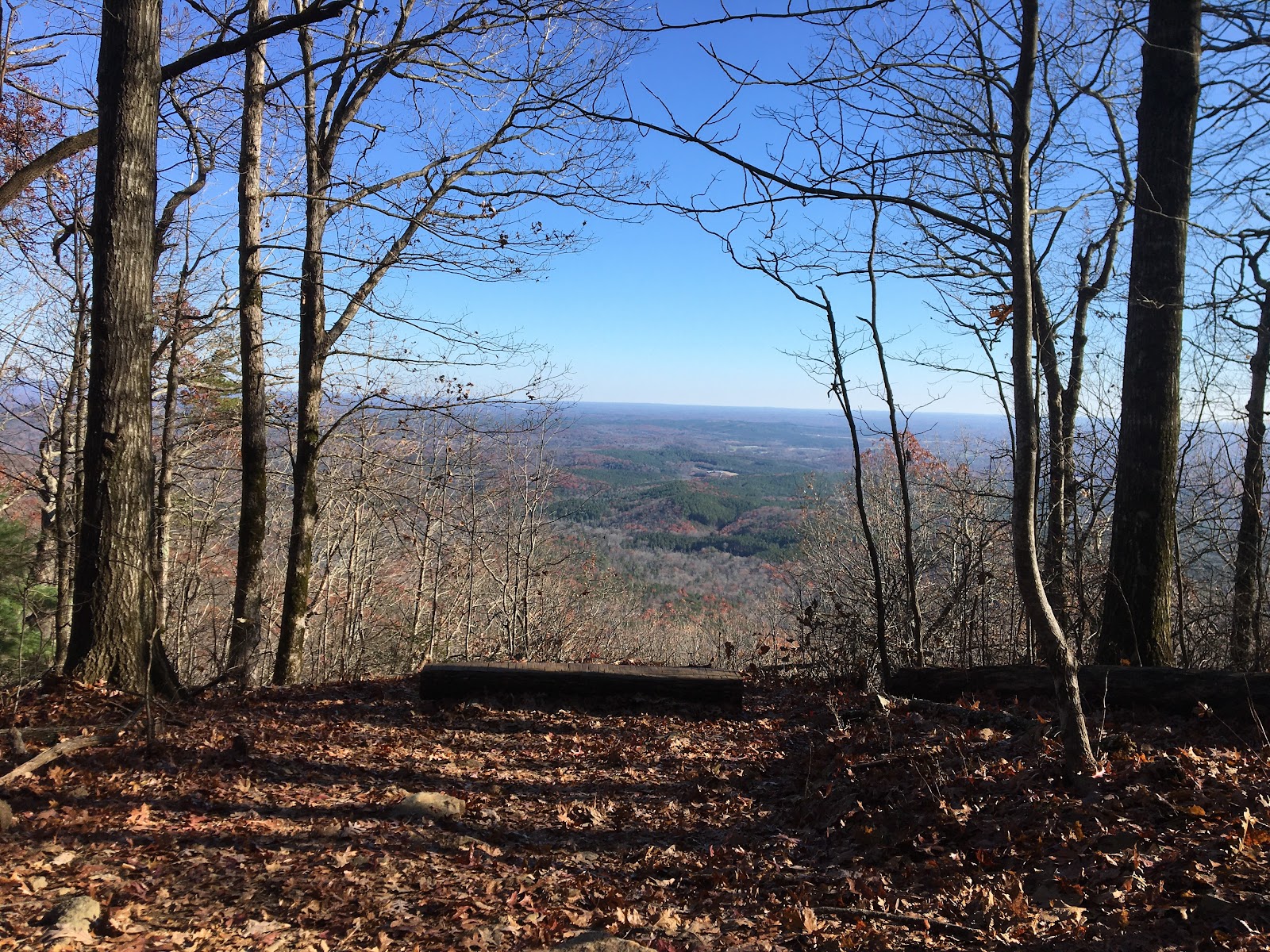
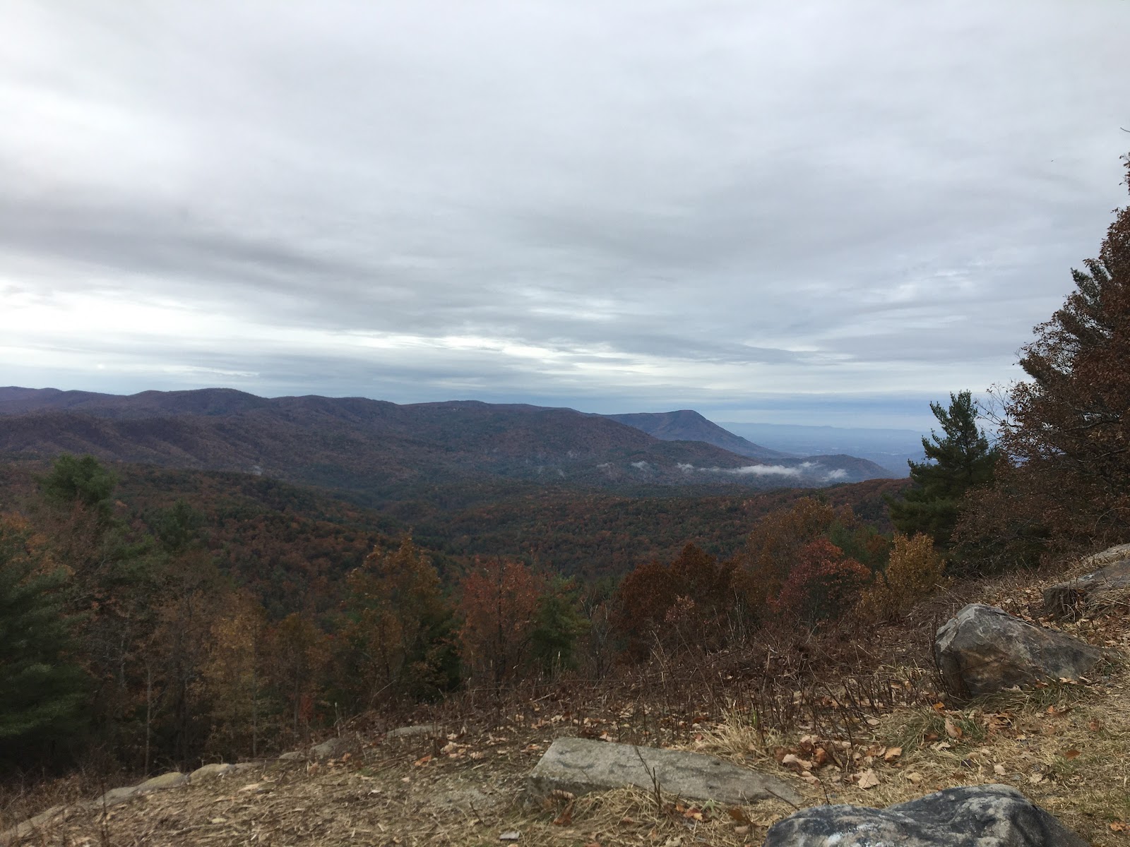
The route summits Tifton Mtn and the follows a descending path curving around the north west side giving views of lake Blue Ridge.


Views of lake Blue Ridge from Tifton Mtn.


Lake Blue Ridge is larger than I expected.  At about this point I had exchanged a few messages with my friends and I knew they were close to the tower or already there about a mile or so ahead of me.  As I made my way around the south side of Tifton Mtn I could see the tower.


Brawley Mtn Fire Tower.  The group was waiting for me here.  I was hoping the tower would be a cool place to hang out.  I envisioned an open air deck with spectacular 360 views.  I’ve been to other towers that are destinations in themselves.  For example the tower at the top of Rabun Mtn.  That is a outstanding spot to hang out.  This tower wasn't that kind of tower or experience.  It was dilapidated and off limits (to most of us ;).


We hung out for a little bit, snapped a few pics and took off.  I was disappointed it wasn’t the cool experience I had hoped for.

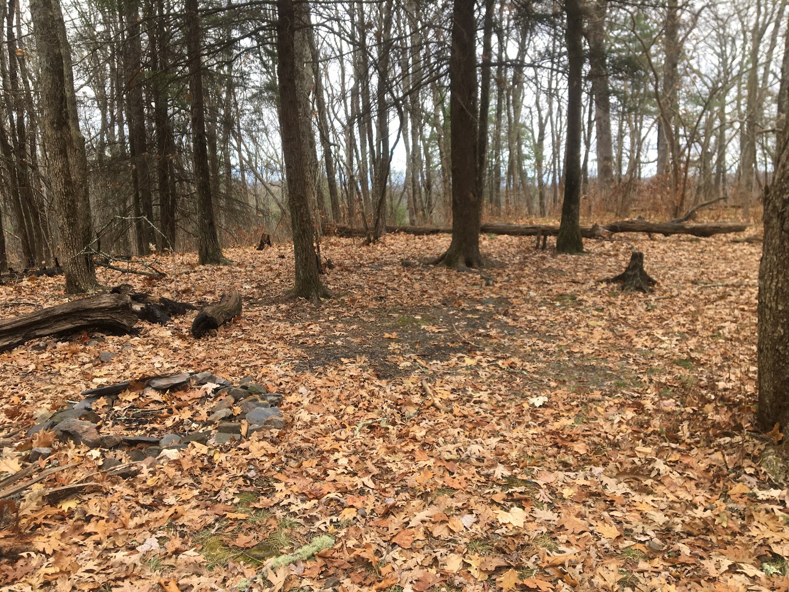
The trail off the back of Brawley Mtn goes through a section of forest with huge high canopy trees widely spaced on a bare floor. It’s a wide open area bordered on the north side by a tall rock face along the base of Brawley Mtn.  It’s spectacular.  I’d like to see this area in the spring.

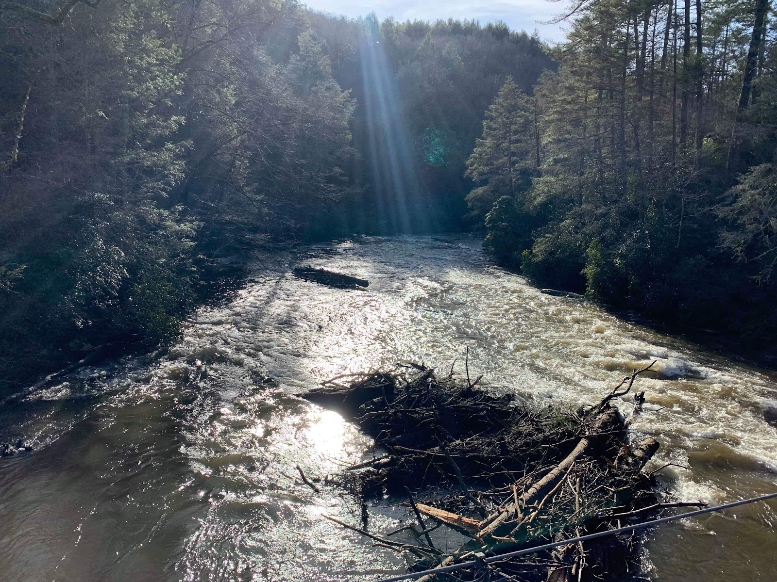
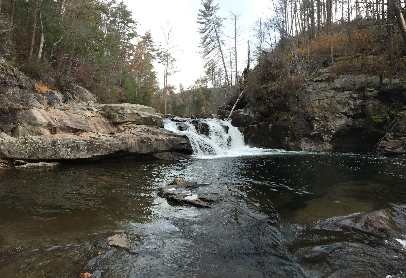
The route trends down towards the Toccoa River with a few steep grunts, because it’s the BMT!  I’m pretty much toast by the time I reach the intersection with Shallowford road and don’t see the trail on the other side.  I’m a bit ahead of the group and continue on down the road until I get that uneasy feeling.  A quick map check confirms it and I turn around getting an extra bonus mile or so.  I meet up with the group and we all finish the trail together.


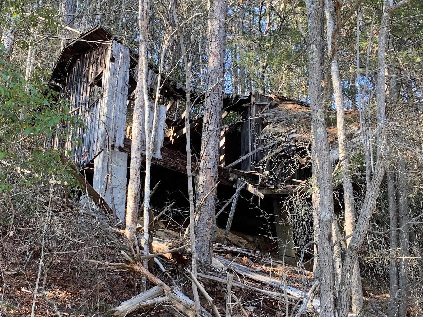
A good spot on the Toccoa River for a cabin fixer upper.


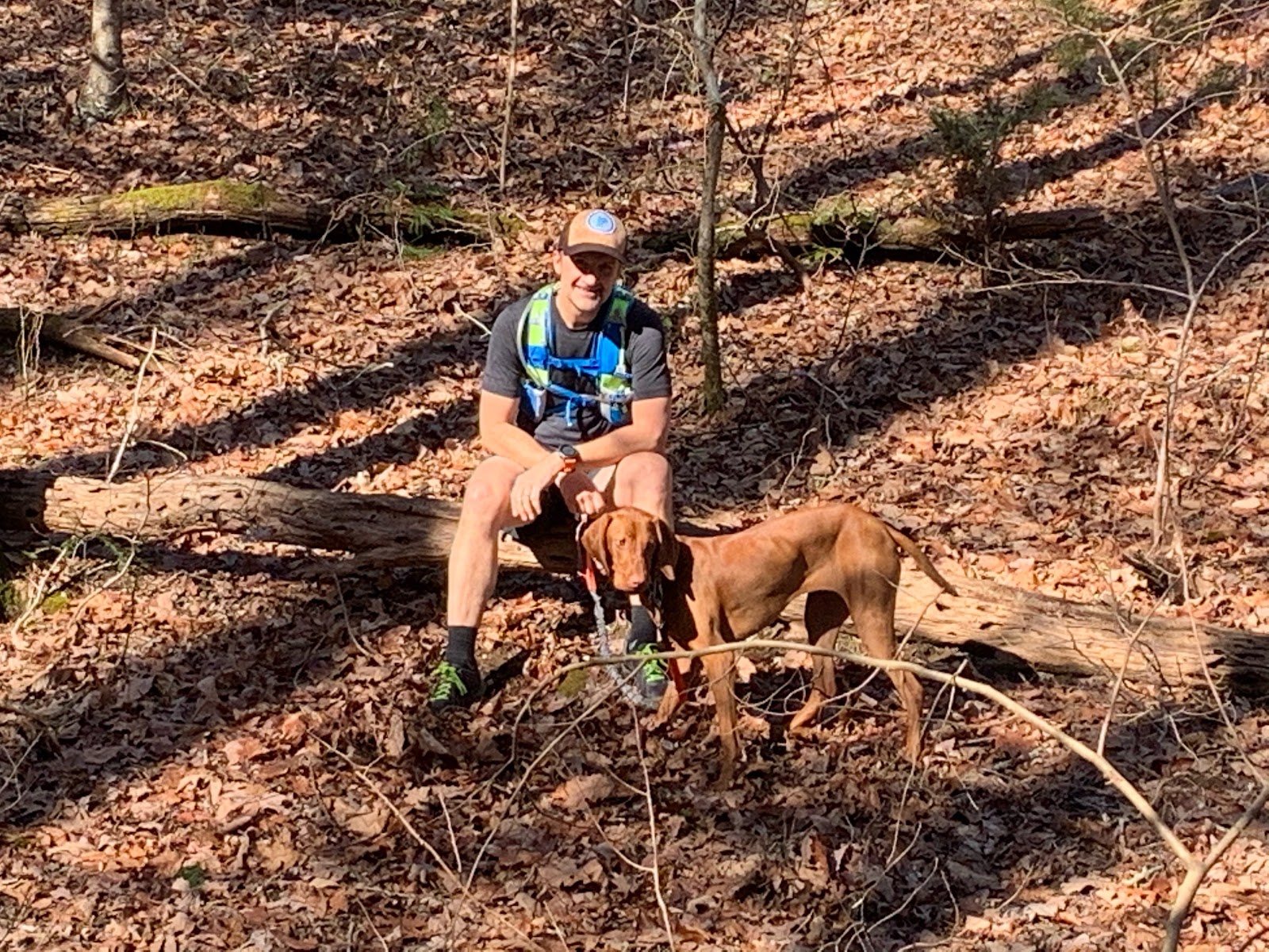
At the finish with the Brenda, Les, Dan and Bandit.


We enjoyed a few beers sitting in the sun by the river before calling it a day and heading home. It was an epic day with perfect conditions.  The BMT rocks. I look forward to the next sections.

My mileage ended being about 24 miles with 7k of gain in 8hrs.  Here is Strava info:

.

Monday, January 13, 2020

BMT Start to Swinging Bridge (ish)


Spent the day with my buddy Michael Hopton hiking from the start of the BMT to the Swinging Bridge spanning the Toccoa River.  Well, almost from the start...  

The Plan

The plan was pretty simple.  Two guys, two vehicles, a dog and a 16-17 mile point to point route from the start of the BMT to the Swinging Bridge.  Michael would leave his vehicle at the Bridge and I’d leave my truck at Springer.  

It was a nice plan that didn’t go as expected.  

Shocking as always 🤔.  

A storm had come through the area the night before that downed trees, power lines and seemingly cutting off all access to our destinations.  Just getting close was a challenge due to dense fog and debris scattered on the roads.  Our main route and second alternate ended up being completely blocked by large downed trees. 


The tree above was blocking our alternate route attempt to access the bridge via forest roads.  This was up FS 58 about 100 yards from the top near winding stair.  We backtracked and found another access via the roads.

We then ended up getting blocked from accessing Springer.  


The tree above was about a mile or so up the forest road to the Springer parking lot.  So we changed our plans and decided to start from Three forks.  

Next trip I’m gonna bring the chain saw.

The Route


We ended up parking my truck on FS 58 at three forks where the AT and the BMT (green trail near bottom) cross.  We did the loop below 58 clockwise, starting on the BMT and returning on the AT, just to get some additional miles in for our shortened adventure.  It was a good choice.  We got to see that part of the BMT and enjoy the steep up hill climb!

Although it rarely felt like it: “The route trends mostly down hill” 😆 

Once back to 58 we dropped some unneeded gear at the truck.  It was very warm and I unloaded all of my cold weather gear.  I wished I had brought an even lighter shirt.  I was already sweating pretty good.  70 degrees in January.  Who knew 🤷🏻‍♂️.

Leaving the truck we headed up the trail to Long Creek Falls.


I watered up at the falls and then we continued on a steep uphill section to an unnamed bald.  Ruby got to play and we enjoyed the impressive scenery. 


Leaving the bald we descended (because it trends down 😉) to No Name Gap.


From No Name Gap we climbed up steeply towards Wildcat ridge and onto the shoulder of Big John Dick Mountain.  The shoulder is an awesome tight bench cut trail.  This is one of the most runnable sections and an absolute blast. It switchbacks down into Bryson Gap where I planned to get more water.


Water at Bryson Gap can be found on either side of the Gap.  I chose poorly and headed down the side with an itty bitty trickling spring.  It was tough getting water and I clogged my filter.  The funny part is that we (me) took a wrong turn after this and ended up heading down the other side of the gap where our feet had to get wet crossing a significant stream.  I’ll know better next time.


The pic above shows the way down to the good water access.  I thought it was our route and we descended down about a half mile before figuring it out.  Oh well bonus miles it is.

I remember reading about this turn in the trail guide: the trail heads a short distance down the NW side of the gap on an old lumber road, then shortly bears away from the road up the right bank. Be careful not to miss this turn or you may hike a long distance in the wrong direction until you discover the folly of your ways.

The “Folly” is certainly in my ways.  😆 

Leaving Bryson Gap, on the correct trail, we followed a runnable ridge with views of the surrounding valley and bordering ridges.  You could tell we were approaching the Toccoa River.


The drop down into the Toccoa was steep and we took our time to enjoy the crossing.  The river was high and raging through its banks.  Trees and debris gathered in random areas staged for the next storm to wash them further down the river.


Crossing the bridge I was thankful for the day, the company, the warm sunshine and the cold beer just a short hike away.


Thanks to Michael and his dog Ruby for joining me on this little adventure.  It is always more meaningful to have company to share experiences with.  And thanks to Michael for all the photos!

Good times.


Monday, November 25, 2019

AT Approach to BMT Start


Spent the day with my buddy Patrick on the AT approach trail.  A plan is slowly developing in my mind about seeing more of the AT and the Benton Mackaye trail.  Ive only been on a few short sections of these trail systems, maybe 50 miles total.  Each part has been beautiful and challenging.  High adventure.  The best part being I’m not bushwhacking nor getting cut up by briars.  Another aspect of these trails that I’ve enjoyed are the people I’ve met and their stories. 

The Route


 The route starts near the Amicalola Lodge in the lower left corner.  No we didn’t do the stairs up Amicalola Falls.  Been there done that.  As another buddy of mine once said at the top of the stairs: “what?, we can drive up here?!” We took the AT approach trail to Springer Mtn, the official start of the AT and then on to the start of the BMT.  We returned on that same trail and took the Len Foote trail back to the lodge stopping at the Hike Inn along the way.  The route was about 17miles with about 4k in gain.

Springer Mtn at AT Start


View from top of Springer Mtn


We noticed that all the trees at the top of Springer Mtn were covered in ice.


Start of BMT is just a bit further down from top of Springer Mtn

The trail getting to Springer Mtn trended upward so the return was a blast being mostly down hill.  Not all down hill. Mostly ;).  The trail is technical with rocks and roots so you have to pick your feet up to avoid having a bad day. On the return we stopped at the Len Foote Hike Inn to check it out.  We ended up having a hot chocolate and enjoying some time chatting on the porch sitting in the sun.  I think my family would enjoy this place.  I saw several families hiking in with plans to spend a few nights.  A prevailing theme at the Inn is no electronics.  One family I spoke with mentioned their visit was going to be a much needed tech detox.  I can relate.


Len Foote Hike Inn

From the Inn back to the lodge is about 4 miles.  My legs were quite happy with sitting in the sun and took a few minutes to accept the task at hand.  On the way back there were several nice overlooks.  We could see Stone Mtn and ATL faintly in the distance.


A nice spot to hang out.  I ended up hanging out here for a while talking to a few families hiking into the Inn.


Overlook


Back at the Start 

I think we finished in about 7 hours.  We took a lot of leisure time at Springer, the Inn, and the overlooks.  We had a beer at the Lodge and called it a day.  


Sunday, November 17, 2019

Quest for Jacks River Falls


I have wanted to see Jacks River Falls for 10 years or more.  I’ve tried to plan trips to hike in from shorter and easier routes but it has never worked out.  As part of my training for a “race“ in 2020 I came up with the idea of running in the Cohuttas.  I’d be like Killian Jornet running high mountain ridges.  The key differences being that he was at altitude and actually running.  I did some planning and picked what I thought would fit well with my training level and desire for some adventure.  I’d pack the fly rod,  explore the river, find the falls, and enjoy the mountains.

The Route


The route starts at Three Forks trailhead (bottom center of pic above) and follows clockwise East Cowpen, Hickory Ridge, Jacks River, and back on Rough Ridge.  

I’m no stranger to Three Forks.  I’ve passed it numerous times by bike or car and always wanted to explore it.  To get there id head into the Cohuttas via Gates Chapel Rd and FS road 64.  This passes Bear Creek and sections of the Pinhoti.  


From Gates Chapel Rd


Waterfall just below Bear Creek overlook.  Can’t remember the name.


Bear Creek Overlook


Mountain Town Overlook 

Trail Conditions

The trails were at times faint and hard to identify with all the fallen leaves.  There is a significant amount of deadfall and briar overgrowth.  It was slow going and I had to route find often.  There are also beautiful sections of high canopy, rugged terrain, runnable sections and some stunning views. 


Deadfall

This area of the Cohuttas was on fire a few years ago and scars of the fire can be seen throughout the first half of the route.  There are many dead and fallen pine trees that may be due to pine beetles and/or stress of the fire.  I couldn’t tell for sure.  There were several areas of the forest in transition from old to new.  Large areas of once tall pines are now wide open with broken and blown down overlapping deadfall.  Green seedlings about two to three feet tall are coming up now and will restore the area in the next 10-15 years.  


Scars of the fire

Scat and scrapings

Scat here scat there scat everywhere.  I think I can recognize coyote scat pretty well and saw it everywhere.  There were a few scat that I could not identify.  My only guesses are bear or pig but I’m not sure.  

Um what made that?  


And what made that?

The entire route had pig scrapes, usually on slopes.  Lots of wild boar in this area.


Panther Creek Trail

A few years ago I did a hike into the Conasauga River and explored Panther Creek with my dog Abby.  We had to turn around because it was too rugged for her to follow me.  I remember being on all fours traversing large boulders and being face to face with what I think was a big pile of bear scat.  The area made me tense and I felt like prey.  We got the hell out of there.  If we had kept going we would have made it to East Cowpens.

Top of Panther Creek trail.

Campsites

There are several campsites along East cowpen and hickory ridge.  Maybe a future trip we can camp out and have more time to fish the river.


Green Thingies

I don’t know what these are but I hope to find out.  There are several areas with lush green ground covering plant life.


Reaching the River

I reached the river about an hour behind schedule.  The trail seemed to just stop at the waters edge.  I looked for the bridge or log or series of rocks that would take me across the river. There are no such crossings.  I never considered I would have to wade across the river.  Nor did I consider I would have to do it multiple times.  It was painfully cold and slippery.  I came close to falling in a few times.  How did I not think of this?

First river crossing

Once across the river I made my way to the falls.  I was blown away with the rugged magnificence of the rock structure.  It has multiple levels and deep pools. I climbed out to a rock outcropping to get a picture of the entire falls.

Entire Falls


Upper level

Fly Fishing

Part of my plan was to spend some time fly fishing. How cool would it be to hike in see the falls catch a fish and hike out.  What a cool story that would be.  Yeah, I cannot tell that story.  I did fish though.  Near where I crossed the river there was some top water activity so I checked it out.  Turned out to be a massive rainbow.  Maybe 24in.  It was huge, larger than my gear could handle.  I didn’t have a lot of time but I was certainly going to try.  I spent about 30 mins trying to entice a bite but it never happened.  I watched as he roamed up and down the river.  I’d love to go back and spend more time.  Maybe when it’s warmer??

Big fish in here!

Finding the Way out

Finding the way out wasn’t easy.  I had an idea of the direction but it wasn’t obvious.  I ended up having to cross the river two more times and did a lot of route finding before I was sure I was on the right trail.  Maybe I’ll bring waders next time. 

Yes I want the Rough Ridge Trail!

The trail out was steep and darkness was approaching. I was more than an hour behind schedule and my pace was initially about 30mins a mile.  I had 8 miles to go. The math was against me and I knew I’d be using the headlamp.  Luckily my pace increased as the steepness decreased and the trail opened up.  


Darkness approaches

I made it back to the trailhead about an hour after dark happy to be done.  I love the area and I’ll be back.